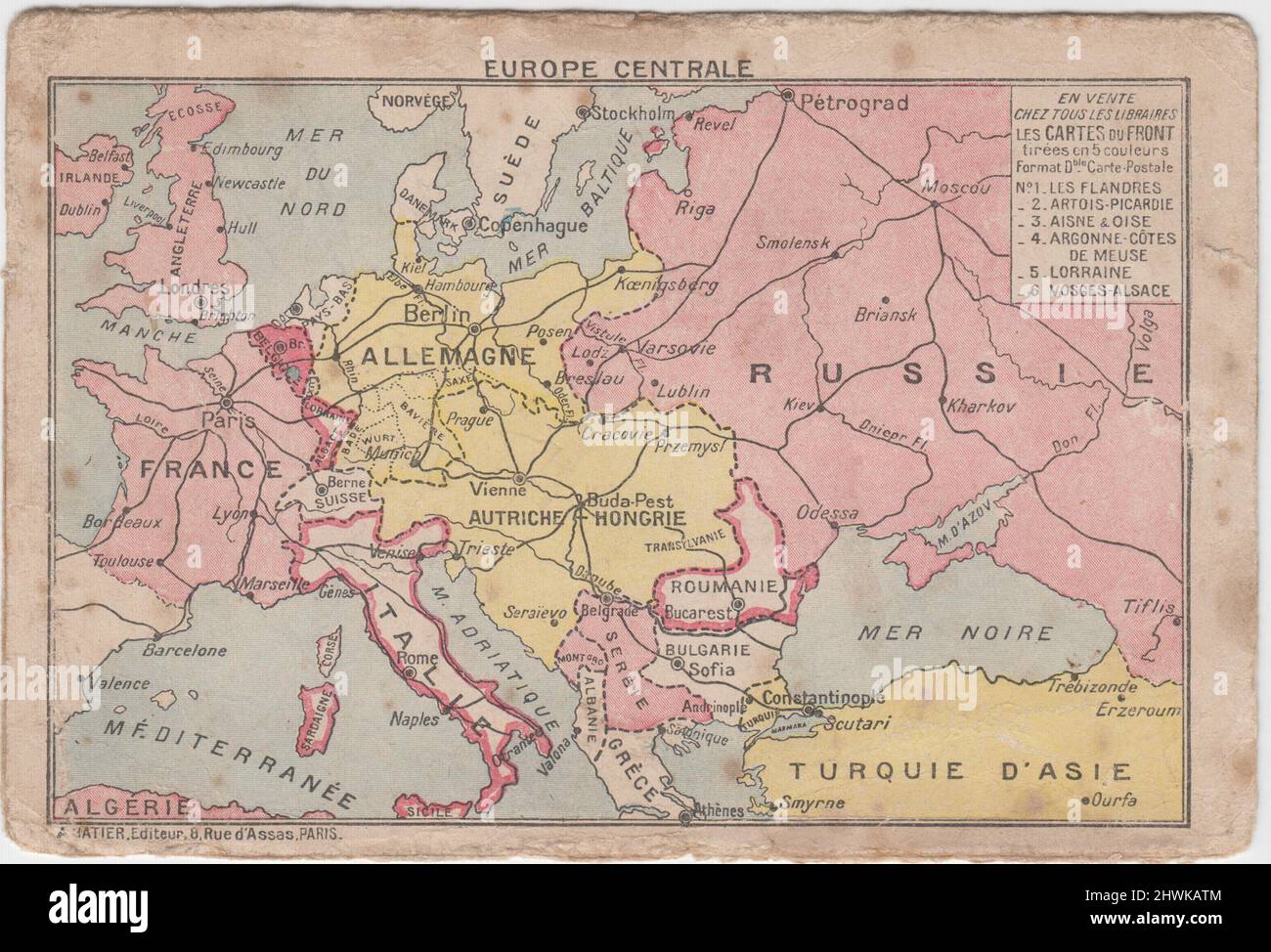
Europe Centrale / Central Europe: First World War map showing the borders of combatant countries. The map was included on the front of a French Army letter card
RMID:Image ID:2HWKATM
Image details
Contributor:
First World War lives and landscapes / Alamy Stock PhotoImage ID:
2HWKATMFile size:
21.3 MB (1.5 MB Compressed download)Releases:
Model - no | Property - noDo I need a release?Dimensions:
3310 x 2251 px | 28 x 19.1 cm | 11 x 7.5 inches | 300dpiDate taken:
1914More information:
This image could have imperfections as it’s either historical or reportage.