Hiking Near The Matterhorn In Switzerland: An Epic Adventure
When it comes to hiking near the Matterhorn Switzerland, there are various trails and routes you can take. This includes the extreme hike up to the summit, as well as the more popular circular routes around the iconic mountain’s base.
The Matterhorn in Switzerland is one of the most iconic sights in Switzerland, and hiking around it is an absolute highlight of any trip to this country.
Whether you choose to hike around the Matterhorn over nine days or want to shoot up to the summit, it will be an unforgettable experience.
Here’s everything you need to know about hiking near and around the Matterhorn, Switzerland from us at Skyhook Adventure.
Where is the Matterhorn, Switzerland?
The Matterhorn is located in the Pennine Alps, near the border between Switzerland and Italy. Its Swiss side is the more well-known and frequently visited part of the mountain.
The town of Zermatt, Switzerland, is a popular base for climbers and hikers exploring the Matterhorn and the surrounding region.
Can You Hike Matterhorn, Switzerland?
Yes, you can hike around the Matterhorn in Switzerland, but reaching the actual summit of the Matterhorn typically requires mountaineering skills, experience, and the use of technical equipment.
There are several hiking trails in the region that offer stunning views of the Matterhorn and the surrounding Swiss Alps.
The most common hiking trail for non-mountaineers is the Hörnli Route, which leads to the Hörnli Hut and provides a close-up view of the Matterhorn. You can also do various multi-day hikes around the mountain.
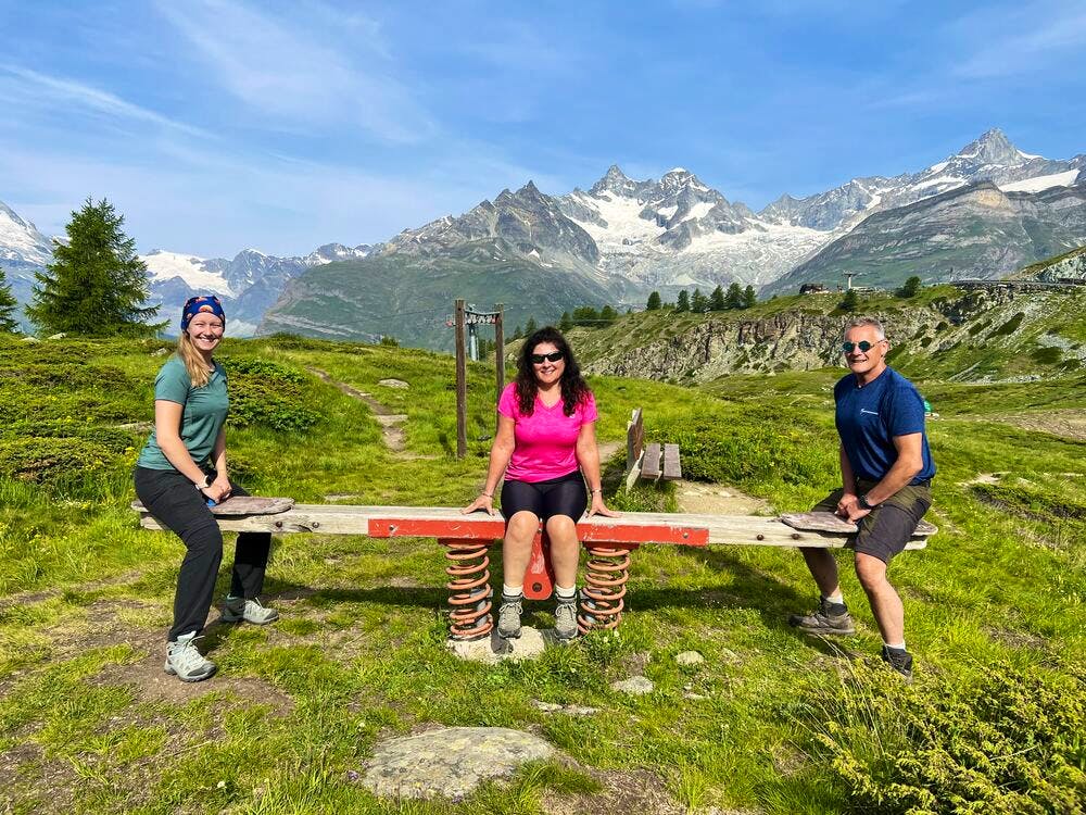
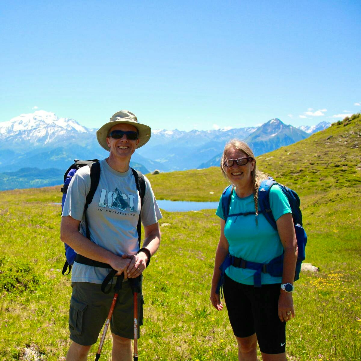
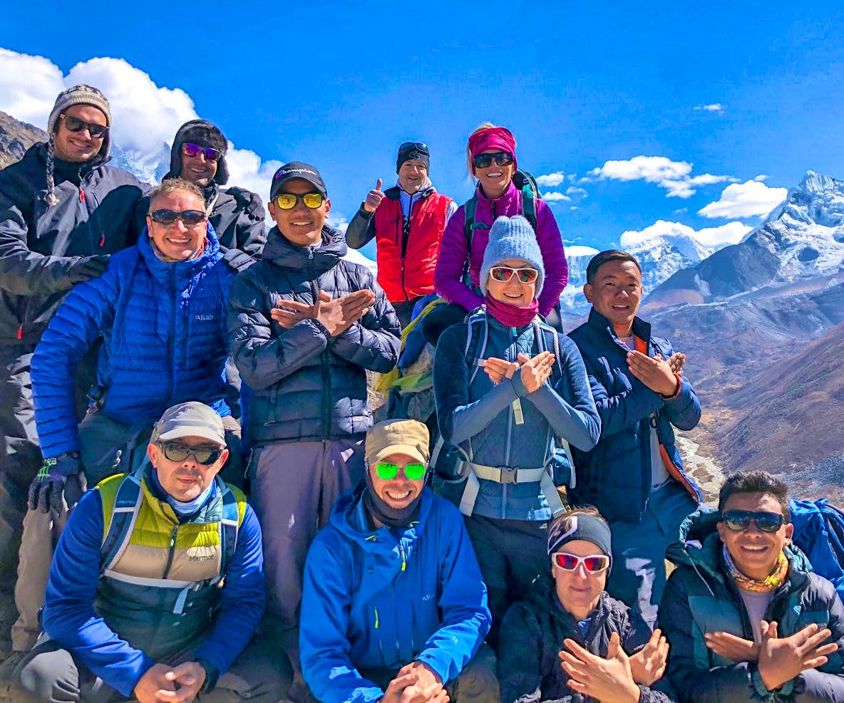
Group of hikers with the Matterhorn in the distance.
Hiking the Matterhorn Switzerland: Reaching the Summit
Hiking to the summit of the Matterhorn in Switzerland is an extraordinary and highly challenging endeavour.
The Matterhorn stands as one of the most iconic and majestic peaks in the Swiss Alps, attracting mountaineers from around the world. This ascent is not for the faint of heart, as it involves a high level of technical difficulty and requires significant mountaineering skills.
Climbers should be prepared to tackle steep rock faces, navigate crevasses, and endure high altitudes.
The Hörnli Route, the most commonly used path to the summit, involves a combination of rock climbing and alpine climbing.
It requires a good level of physical fitness, acclimatization to the altitude, and the use of specialized equipment like ropes, crampons, ice axes, and helmets.
Weather conditions on the Matterhorn can change rapidly, making it crucial for climbers to be well-prepared, both in terms of their gear and their knowledge of the mountain's conditions.
Safety is paramount, and climbers often require the services of experienced guides. Despite the difficulties, reaching the summit offers unparalleled panoramic views of the Alps and a profound sense of accomplishment for those who conquer this legendary peak.
Hiking the Matterhorn Switzerland: The Matterhorn Circuit
The Matterhorn Circuit is the most popular way to experience this mountain. This is also one of the best multi-day hikes in Switzerland, as it lets you experience the sheer beauty of the area surrounding the Matterhorn, with unique sights and challenges each day.
If you’re interested in the Matterhorn Switzerland hike, then this is the route most people will take.
Start your journey in Zermatt, heading towards the Bernese Alps, and passing the Bietschhorn and Matterhorn.
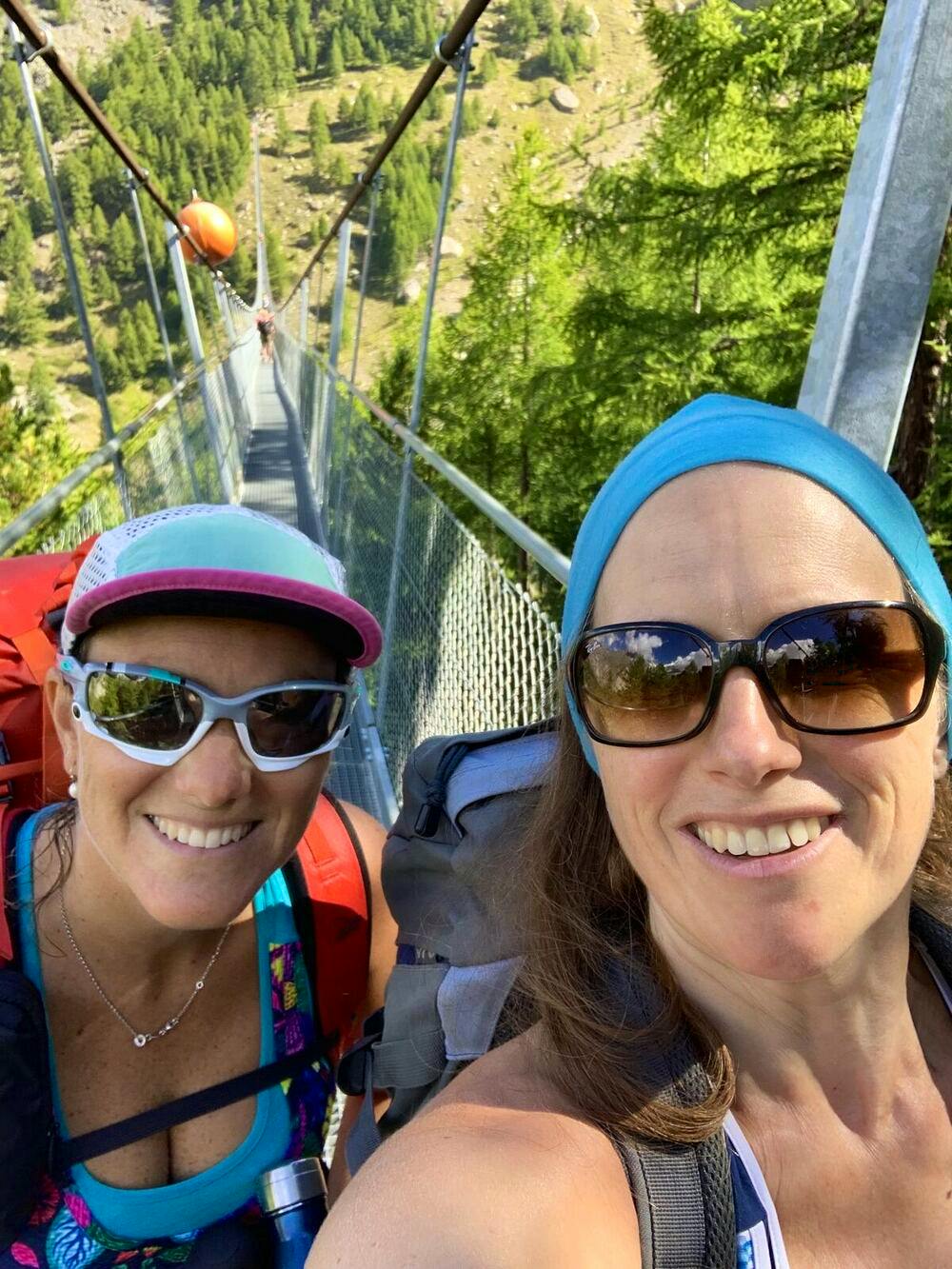
Cross the Charles Kuonen Suspension Bridge, the longest pedestrian suspension bridge in the Alps.
The journey begins in the charming town of Zermatt, where you'll set your sights on the towering Matterhorn and the Bietschhorn in the Bernese Alps. This is also one of the best places to stay for hiking in Switzerland.
The trail starts on the scenic Europa Trail (known as Europaweg), celebrated as one of the most picturesque paths in the Alps.
As you hike, you'll be treated to spectacular views, including a highlight – the Charles Kuonen Suspension Bridge, a half-kilometer-long pedestrian suspension bridge, offers a thrilling experience.
The famous suspension bridge.
Stage 2: Europahütte to St. Niklaus
Distance: 8 miles/13km
Duration: 6 hours
Descend from Europahütte to Herbriggen and then to St. Niklaus.
St. Niklaus is known for its mountain guide history, dating back to the 19th century.
Leaving the Europahütte, you'll descend to Herbriggen, and then onwards to St. Niklaus. The route takes you through small towns and offers glimpses into the history of mountain guides in the area, dating back to the 19th century.
A previously used trail between Grat and Galenberg, which is no longer accessible due to rockfall, once connected these points.
Stage 3: St. Niklaus to Gruben
Distance: 10 miles/16km
Duration: 7 hours
Optionally take a cable car from St. Niklaus to Jungen to save time.
Pass through the Twära viewpoint, offering stunning views of the Mattertal Valley.
Hike to Gruben, enjoying the scenic landscapes.
This day can be made more manageable by taking a cable car from St. Niklaus to Jungen, which can save you a substantial amount of time.
A highlight of this stage is the Twära viewpoint, which provides breathtaking vistas of the Mattertal Valley, as well as prominent peaks like Nadelhorn, Lenzpitze, and Dom.
The day's journey includes a substantial ascent to the Augstbordpass (2,894m) before descending to Gruben.
Stage 4: Gruben to Zinal
Distance: 12 miles/19km
Duration: 8 hours
Begin with an uphill trek and cross the Meidpass, with panoramic mountain views.
Have lunch at Hotel Weisshorn and continue to Zinal.
Your hike on this day starts with an uphill climb, eventually leading you across the Meidpass, a mountain pass connecting the Val d'Anniviers and Türtman valleys.
Along the way, you'll be treated to stunning views of Türtmantal and a skyline adorned with pointed peaks. Hotel Weisshorn provides a perfect spot for a midday break before you continue your journey to Zinal.
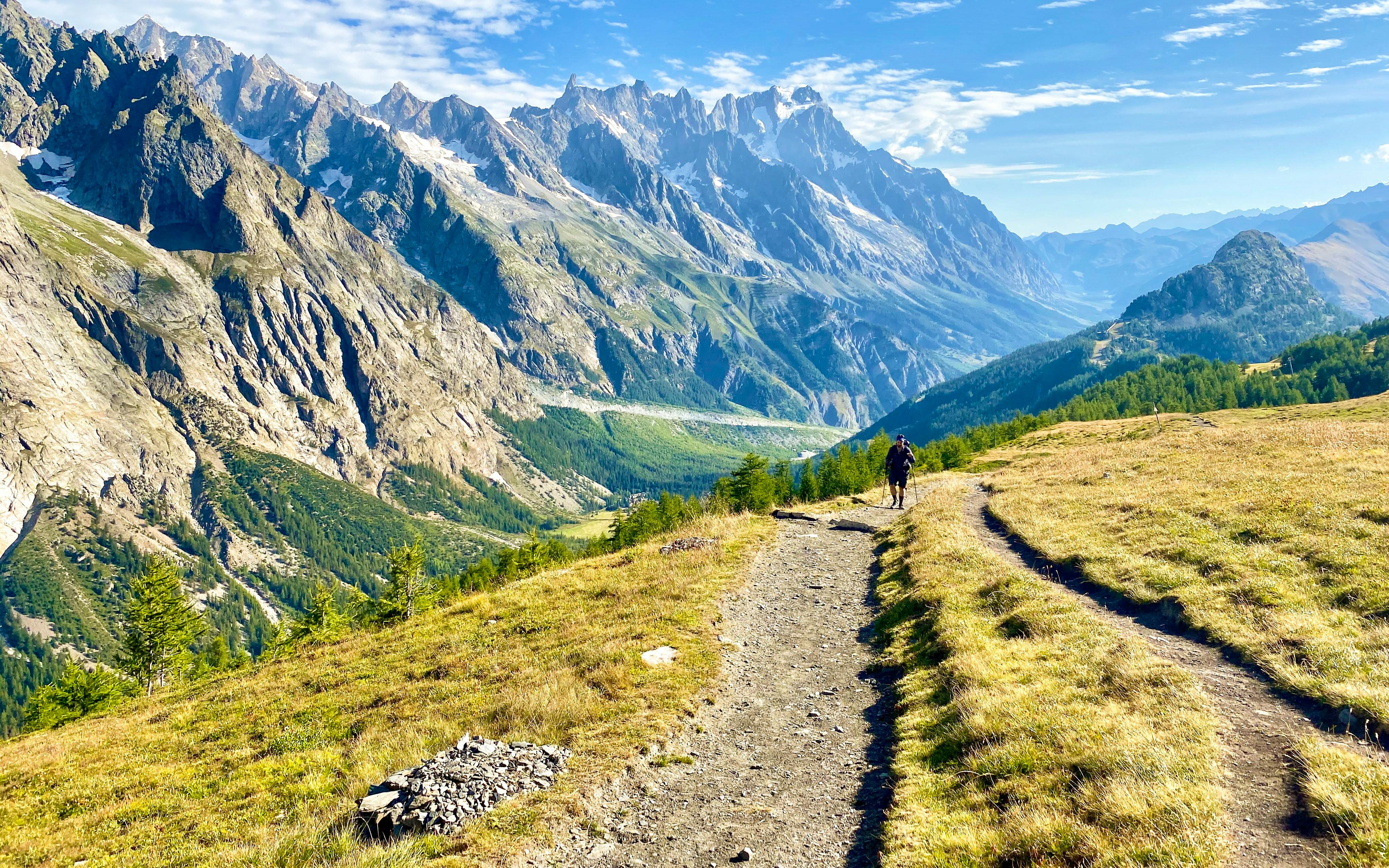
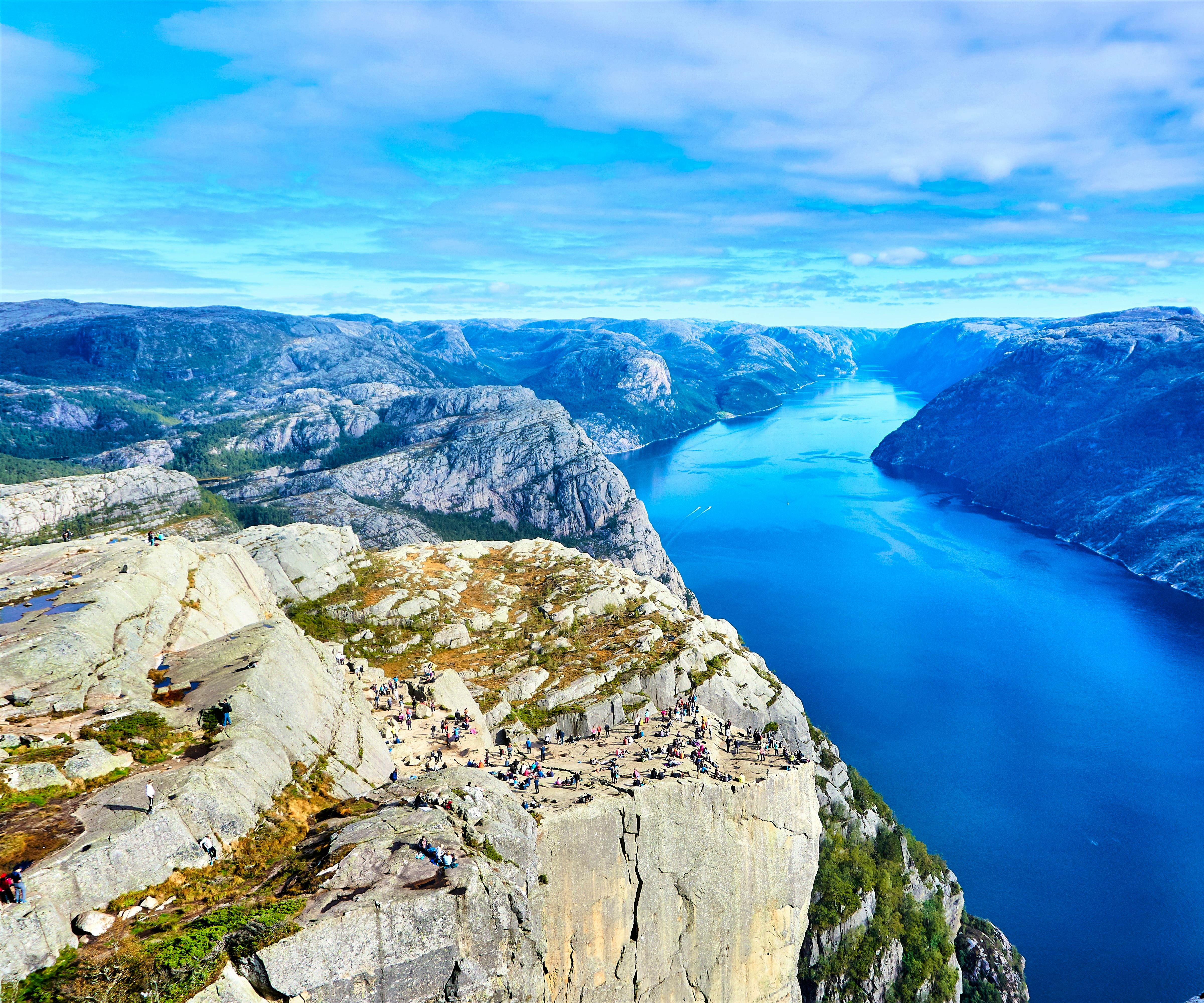
Hiking trails around the Matterhorn.
Stage 5: Zinal to Les Haudères
Distance: 9 miles/15km
Duration: 8 hours (after taking a cable car)
Start the day with a cable car ride from Zinal to Sorebois.
Ascend Col de Sorebois, pass by Lac de Moiry, and cross the Moiry dam.
Finally, descend to Les Haudères.
This is a lengthy stage, so starting with the Zinal-Sorebois-Espace Weisshorn gondola from Zinal to Sorebois is advisable, helping you avoid an 800m ascent.
After reaching Col de Sorebois (2,896m), you'll descend to the glacial blue waters of Lac de Moiry, cross the Moiry dam, and ascend to Col de Torrent (2,919m) before concluding the day in Les Haudères.
An overnight stay in Barrage de Moiry is an option to break up this stage.
Stage 6: Les Haudères to Arolla
Distance: 5.5 miles/9km
Duration: 3 hours 30 minutes
Enjoy a relatively shorter and simpler stage, with a pleasant stroll through meadows to Arolla.
Consider taking a bus between Les Haudères and Arolla for a rest day.
Following an eventful start to the Tour of the Matterhorn, this stage offers a shorter and simpler hike.
You'll pass by a picturesque mountain lake and traverse rolling hills and meadows as you make your way to Les Haudères.
For a more leisurely day, consider taking a bus between Les Haudères and Arolla, offering a break from the trail.
Stage 7: Arolla to Prarayer
Distance: 10.5 miles/17km
Duration: 9 hours
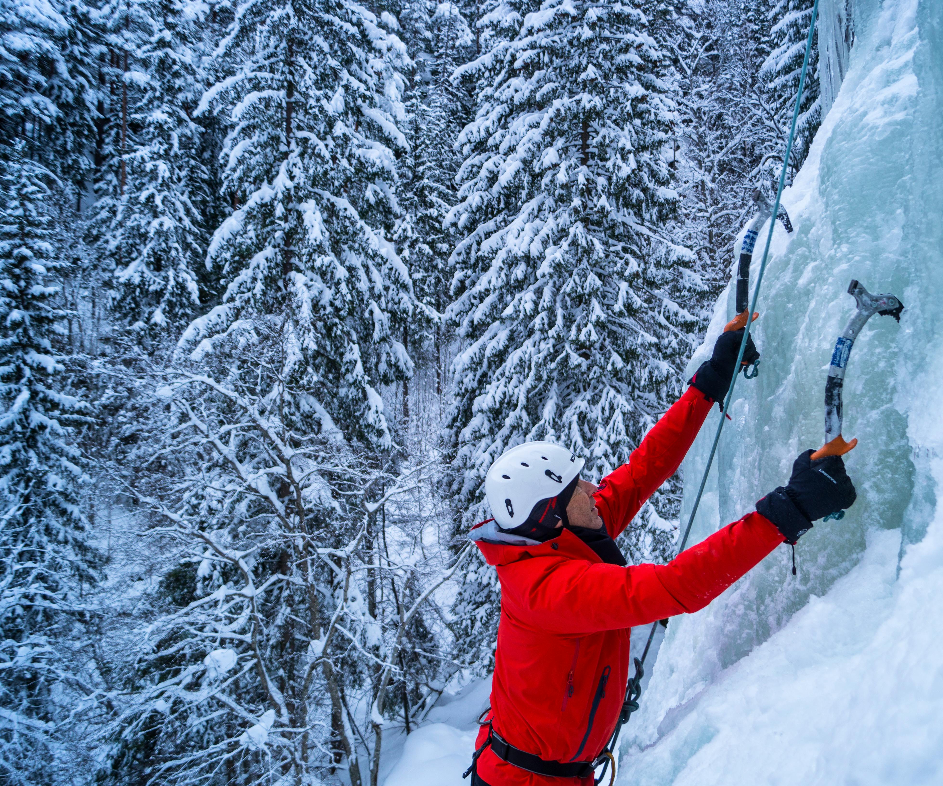
Cross the Haut Glacier d’Arolla, requiring ice axes and crampons.
Walk to the Collon Pass on the Swiss-Italian border and then descend on the Italian side.
This stage presents one of the most challenging sections of the tour. It marks your first glacier crossing on the Matterhorn Circuit, the Haut Glacier d’Arolla.
Proper equipment, including an ice axe and crampons, is essential for safety. When snow is present on the glacier, roping up is crucial.
You'll traverse the glacier to reach the Collon Pass (3,069m) on the Swiss-Italian border, followed by a descent on the Italian side.
Hikers enjoying the Matterhorn’s surrounding area.
Stage 8: Prarayer to Breuil-Cervinia
Distance: 10 miles/16km
Duration: 8 hours 30 minutes
Begin with a hike to Colle di Valcournera, which offers great views of Mont Dragon and the Grande Lago.
Descend to Breuil-Cervinia with a total elevation change of 900m.
Starting from Rifugio Prarayer, you'll ascend to Colle di Valcournera (3,073m) on a challenging hike with excellent views of Mont Dragon and the Grande Lago.
While the day begins with a demanding ascent of over 1000m, you'll reach Rifugio Perucca-Vuillermoz (2,909m) where you can take a break.
The descent to Breuil-Cervinia spans approximately four hours, descending 900m in elevation.
Stage 9: Breuil-Cervinia to Zermatt
Distance: Dependent on cable cars taken.
Duration: 1 day
Travel between Breuil-Cervinia and Zermatt, both iconic towns associated with the Matterhorn.
Enjoy stunning views of the Matterhorn and surrounding landscapes.
This final leg of your journey will take you between the two iconic towns most closely associated with the Matterhorn, or Cervino, as it's known on the Italian side.
Breuil-Cervinia is a picturesque mountain town where traditional chalets sit beneath the Matterhorn's shadow. If you plan to reach Zermatt in a single day, starting with a cable car to Plan Maison is recommended, as it can save you from a strenuous morning ascent.
This stage offers incredible hiking with vast panoramas of the Matterhorn, dwarfing the surrounding mountains.
You'll then descend from the Theodul Pass (3,295m) to the Gandegg Hut, crossing the Theodul Glacier. The Gandegg Hut, built in 1888, is nestled between the Breithorn and the Matterhorn. You may choose to stay the night or continue your descent.
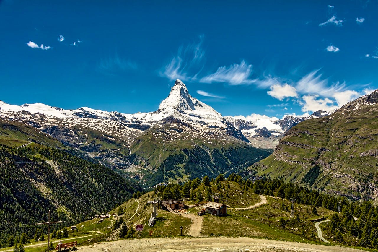
The Matterhorn in the distance.
Four-Day Matterhorn Highlights Hike
Hiking the Matterhorn Switzerland over the nine-day circuit is an awesome experience, but it's also an incredibly demanding route. If you’d like to experience some of the best trekking in Switzerland’s Alps without having to commit to a full nine-day hike, then you can break down the route into a more manageable four-day excursion.
Here’s an overview of a four-day Matterhorn highlights hike that still provides all the amazing experiences and natural beauty of the Matterhorn. You can book this guided Matterhorn hike through us at Skyhook.
Day 1: Hike to Europa Hut
Your adventure begins in Randa, a town on the train line to Zermatt. From there, you'll embark on a rugged forest trail that leads to the Europa Hut.
This cosy mountain hut is nestled at an altitude of 2,220m and offers breathtaking panoramic views of the Swiss Alps.
Day 2: Europa Hut to Täschalp (via Charles Kuonen Suspension Bridge)
For the second day, you'll experience an awe-inspiring hike. The highlight of the day is crossing the Charles Kuonen Suspension Bridge, the longest hanging suspension bridge in the Alps, measuring 494 meters in length.
As you continue along the Europaweg balcony trail, you'll make your way to the Täschalp mountain hut, where you'll be surrounded by glaciers and majestic mountain peaks. This stage promises incredible vistas throughout the hike.
The landscape around the Matterhorn.
Day 3: Täschalp to Ze Seewjinu
The journey continues as you follow the trail towards the iconic Matterhorn, enjoying uninterrupted views of this magnificent mountain throughout the day.
Your destination is the Ze Seewinjinu mountain hut, where you'll be treated to breathtaking views of the Matterhorn.
If you're feeling adventurous, you can even take a refreshing swim in a warm mountain lake, adding an extra dimension to your alpine experience.
Day 4: Ze Seewjinu Hut to Zermatt
On your final day, you'll embark on a tour of the five lakes, a spectacular way to conclude your hiking adventure. Afterwards, you'll descend to Zermatt, bringing your journey full circle.
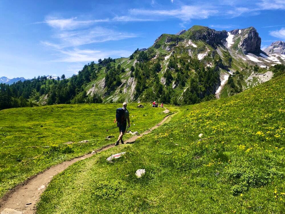
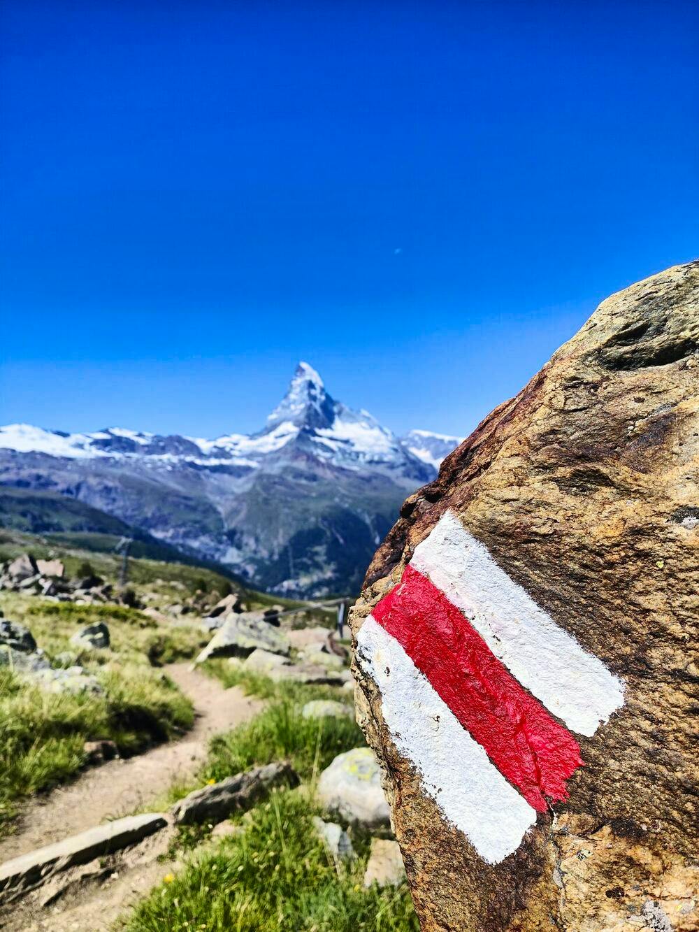
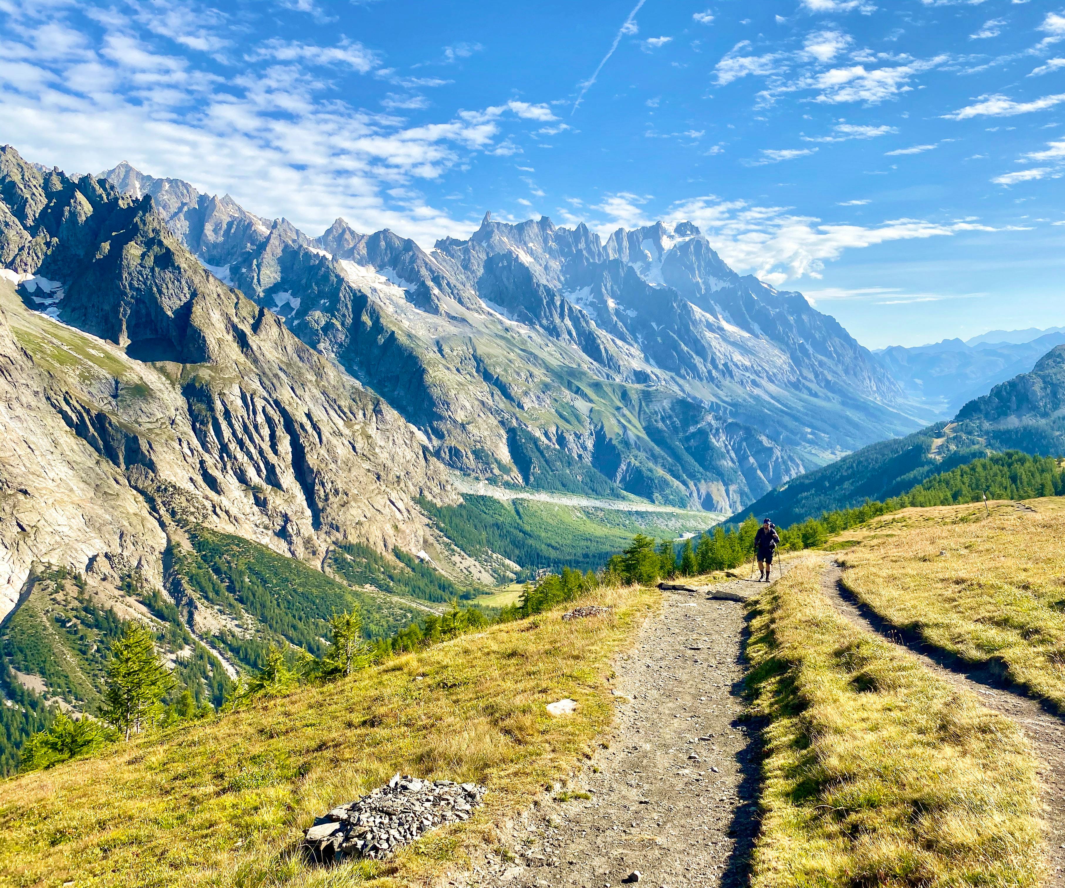
Trails near the Matterhorn.
Tips for Hiking the Matterhorn Switzerland
Hiking the Matterhorn in Switzerland is a demanding and challenging adventure that requires careful preparation and a good understanding of the mountain's unique conditions.
Here are some tips to help you make the most of your Matterhorn hiking experience.
Train and Get in Shape
Prior to attempting the Matterhorn, it's crucial to be in excellent physical condition. Focus on building your endurance, strength, and cardiovascular fitness. Incorporate uphill and downhill hiking, as well as rock climbing and mountaineering training, into your fitness routine.
Acclimatization
Spend time acclimatizing to the altitude before the hike, ideally by spending a few days in the region to reduce the risk of altitude sickness. Start at lower altitudes and gradually work your way up to higher elevations.
If you’re heading for the summit, this should include mountaineering boots, crampons, ice axes, harnesses, a helmet, and suitable clothing for varying weather conditions. Consult with experienced climbers or guides to make sure your equipment is up to the task.
If you’re doing a trek around the mountain’s base, you’ll still need quality hiking boots and the right clothing. Even during the best time to hike in Switzerland, unexpected rains and cold temperatures still appear in the mountains, so always be prepared.
Guides and Experience
Consider hiring an experienced mountain guide who knows the Matterhorn area well. They can provide guidance, enhance safety, and assist with route-finding. If you are not an experienced mountaineer, this is highly recommended.
Check Weather Conditions
Weather in the Alps can be unpredictable. Always check the weather forecast and mountain conditions before starting your hike. Be prepared to postpone or cancel your hike if conditions are unfavourable.
Respect Mountain Safety
Safety should be your top priority. Respect mountain rules and the guidance of experienced climbers. Make conservative decisions, and don't hesitate to turn back if conditions become hazardous.
Leave No Trace
Follow the principles of Leave No Trace to minimize your impact on the environment. Dispose of waste properly and respect the fragile alpine ecosystems.
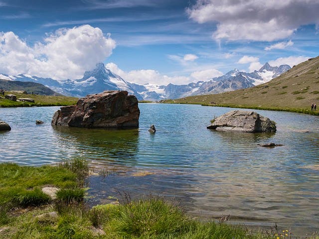
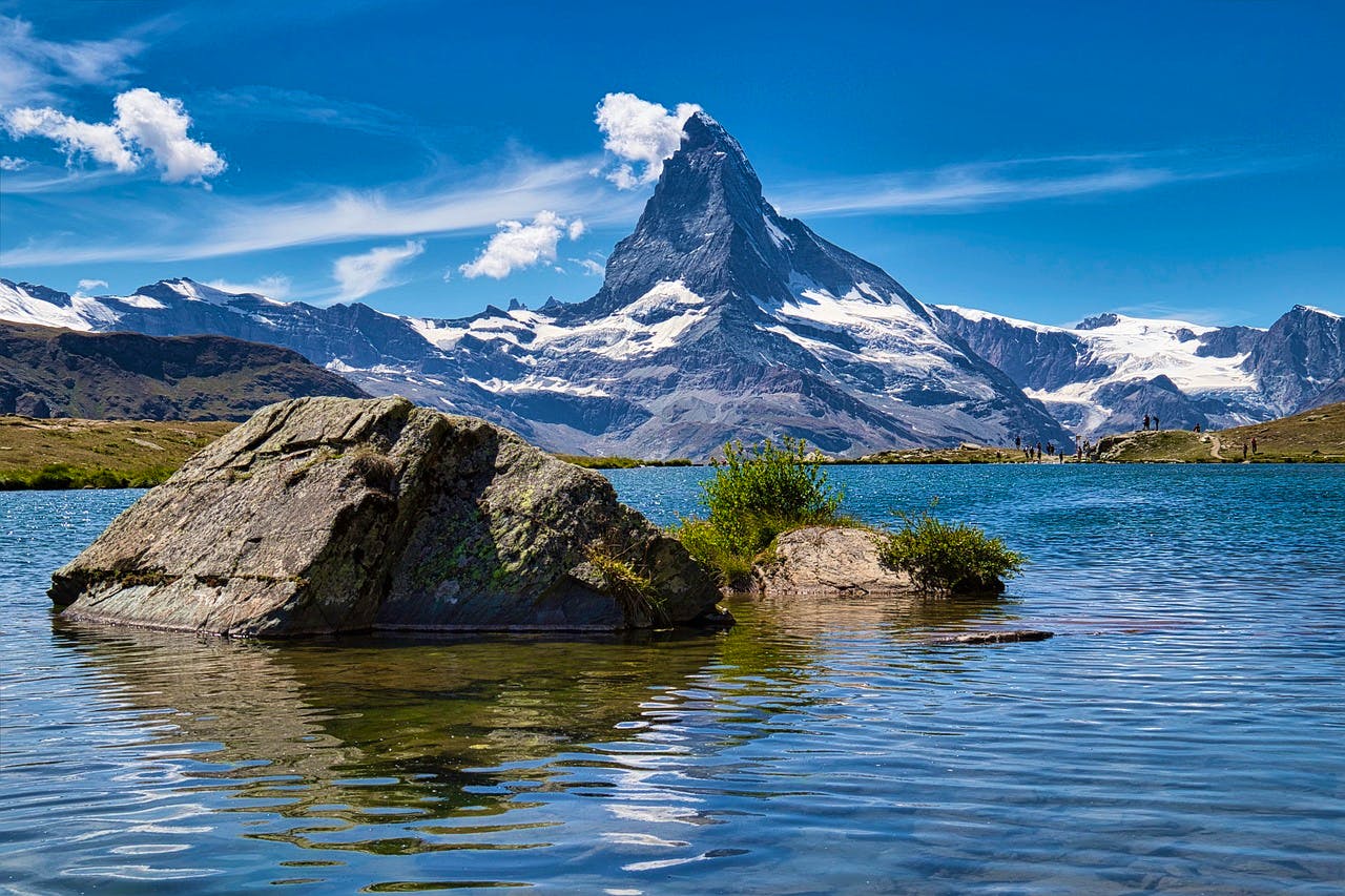
A lake with the Matterhorn in the distance.
Conclusion
Hiking around the Matterhorn Switzerland is a highly rewarding experience. There are various trails you can take to experience this mountain, each one providing amazing views of this iconic mountain.
When it comes to hiking in Switzerland, few areas are as breathtaking as the Matterhorn and its surroundings. So, if you’re after a truly exceptional Swiss hiking experience, then be sure to consider a trip to the Matterhorn.