A Map of the County of Cork, Part 3

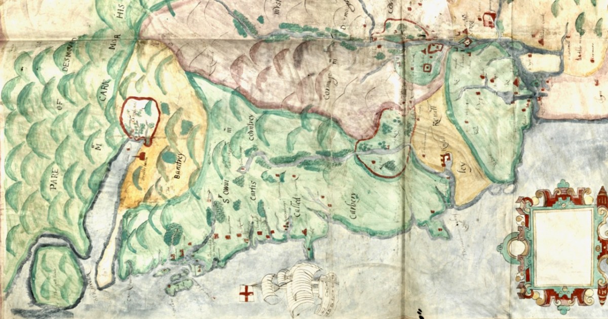
This is the last part (links to Parts 1 and 2 at the end of the post) and I will use it to look at where most people seemed to be living – along the River Lee and the Blackwater/Bride Rivers. Cork is shown, as we know it was and still is, on an island, as a substantial walled town with four towers. Two of the towers guard bridges and are ports of entry, and two guard inlets of the river. There’s a cross in the middle and five buildings outside the walls. 

The buildings to the left of the city (remember, that’s North) are labelled Mogelle, F:barro and M:nellan, while to the right (south) the upper building is unlabelled and the lower one is C:Tanboy?

To see what this is all about, let’s take a look at the earliest map of Cork City, which I showed you in my post Mapping West Cork, Part 2: John Speed. I reproduce that map here. It dates from 1611/12. As I said in the John Speed post, while Speed seems to have based his land maps on earlier work by Mercator . . .

. . . the city maps were all new and it seems that Speed, with one of his sons, actually travelled to the cities he includes in his atlas and paced out the distances, drawing the maps based on these calculations. They are a unique and invaluable record of a time when Ireland had walled cities, especially given that so few intact stretches of those walls remain.
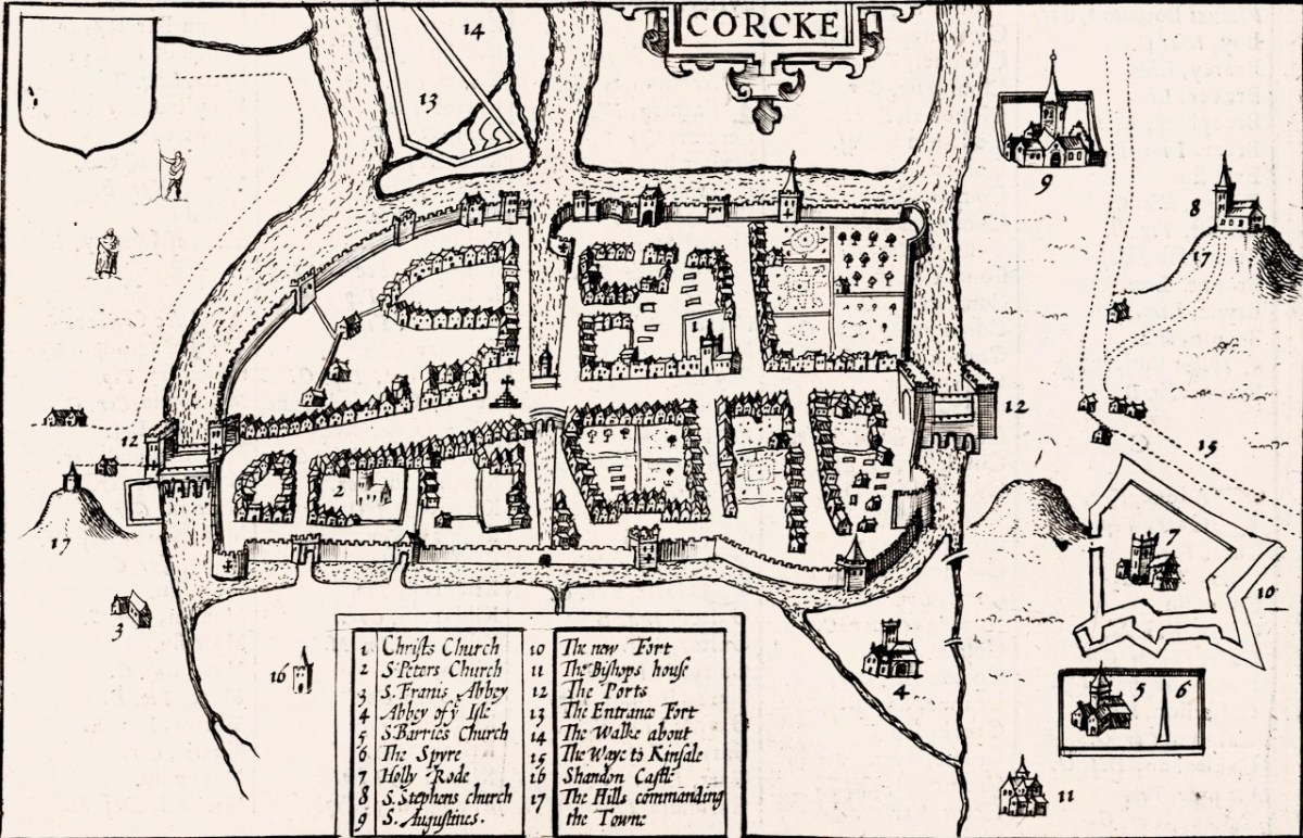
And there is the Market Cross! While that is the only feature inside the city on our map, Speed’s is beautifully detailed, and he provides a key to all important buildings. There are many churches, only two of which, Christ Church and St Francis’s Church, are within the walls. Assuming that Finbarr’s church is labelled F:barro on our Map (although the brown rectangle looks more like a tower house) and St Barrie’s Church on Speed’s, it is shown in different places. St Augustine’s or St Stephen’s may be the uppermost building to the right of the city, but what is the brown pyramid-shaped blob labelled C:Tanboy? Perhaps a true Cork historian can help us out here and figure out what’s what.

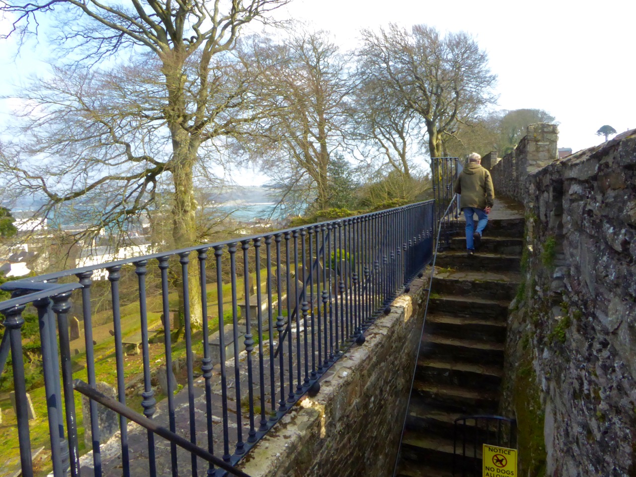
Interestingly, there is no sign, on our map, of the large star-shaped fort that Speed labels The New Fort and that subsequently became known as Elizabeth Fort. It was started in 1601 by George Carew (the original owner of this map collection) built of earth, stone and timber.  This supports a pre-1600 date for this map. Elizabeth Fort is still very much part of the Cork landscape, with its massive walls still dominating the south side of the river (above).
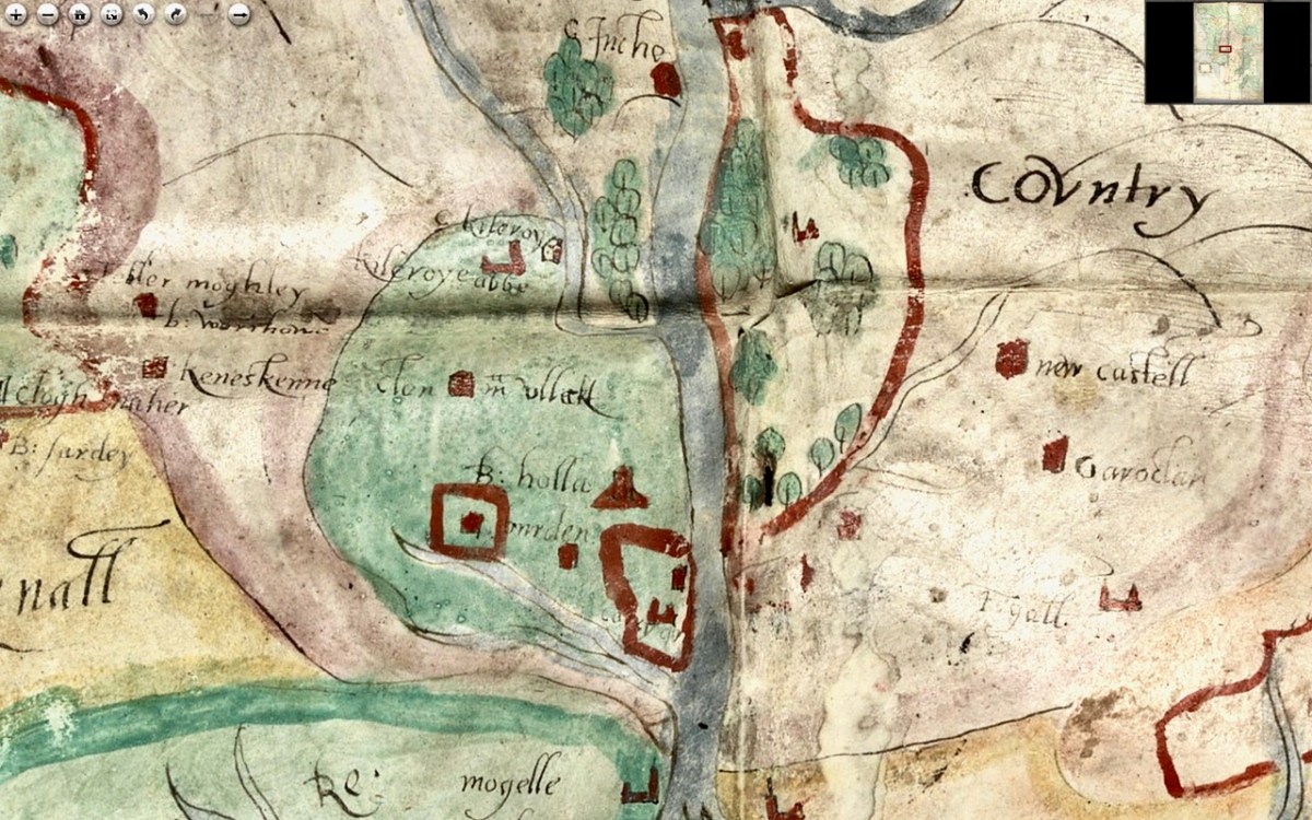
As we progress west along the Lee, the land is shown as wooded and there are several establishments by the river and its tributaries. I recognise Kilcrea Castle and Abbey (given here as Kileroye), but I’m sure others, more familiar with this landscape than I am, can add more.
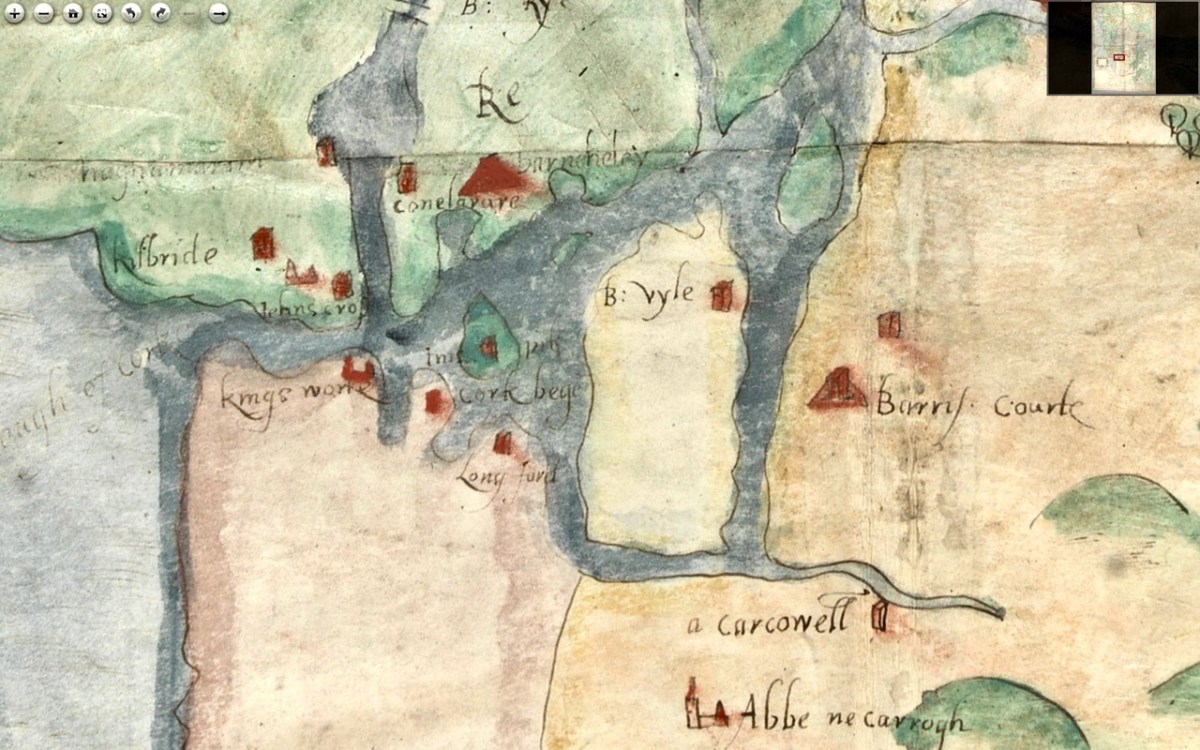
Cork Harbour, as might be expected, has many towers, the main one among them still standing is Barry’s Court (barris courte), soon (we hope) to be re-opened for visitors and also Belvelly (B:vyle), magnificently restored by a private owner. Corkbeg Island and Castle are shown, as well as several other castles on either side of the delta. Cloyne is of course indicated, as it was an important ecclesiastical centre.

Moving now to the Blackwater/Bride River system, we see perhaps as populous and encastellated an area as around Cork, especially along the two rivers, which were navigable for many miles inland. Youghal is shown as a walled town, guarding the mouth of the harbour but also a large commercial and trading centre.
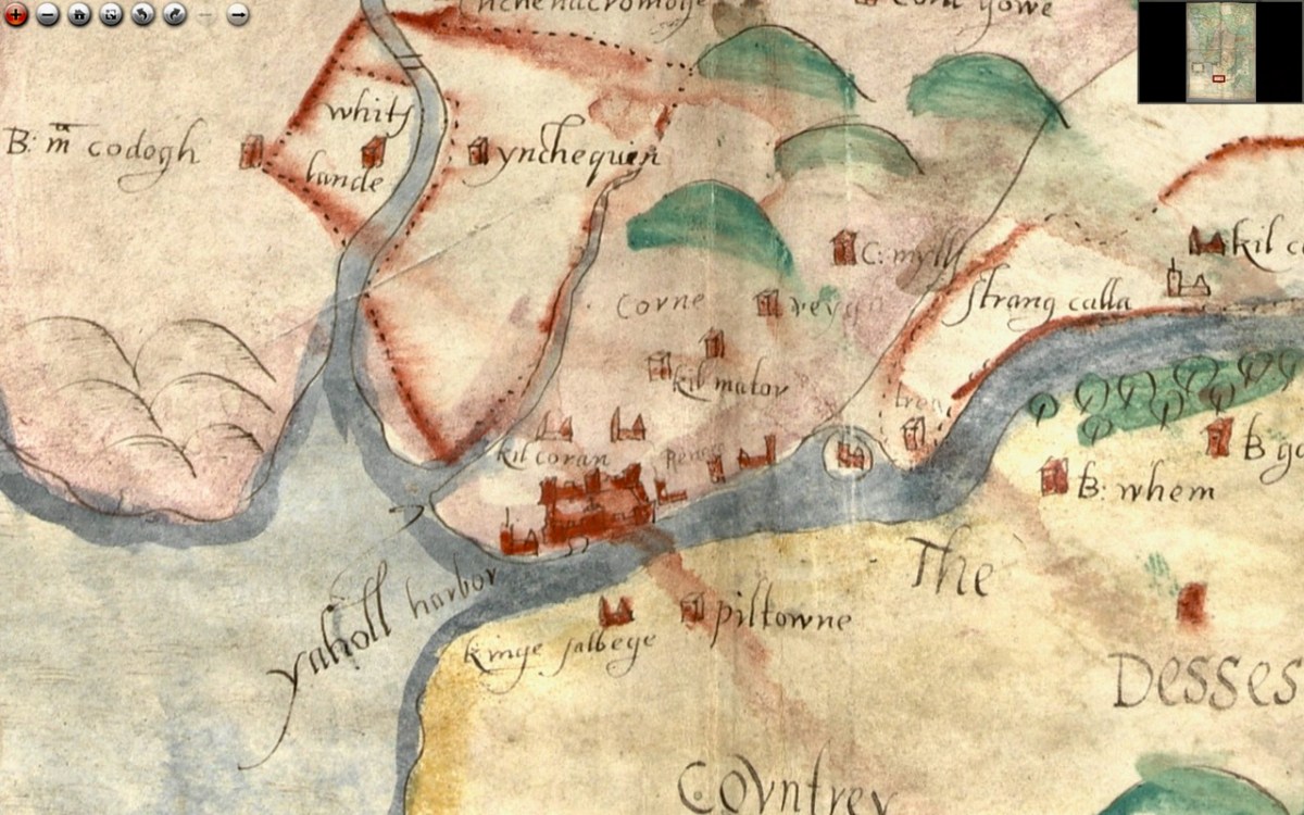
We have written about Youghal before, and specifically about its well-preserved stretches of wall – an unusual feature of Irish towns as very few medieval walls have survived.
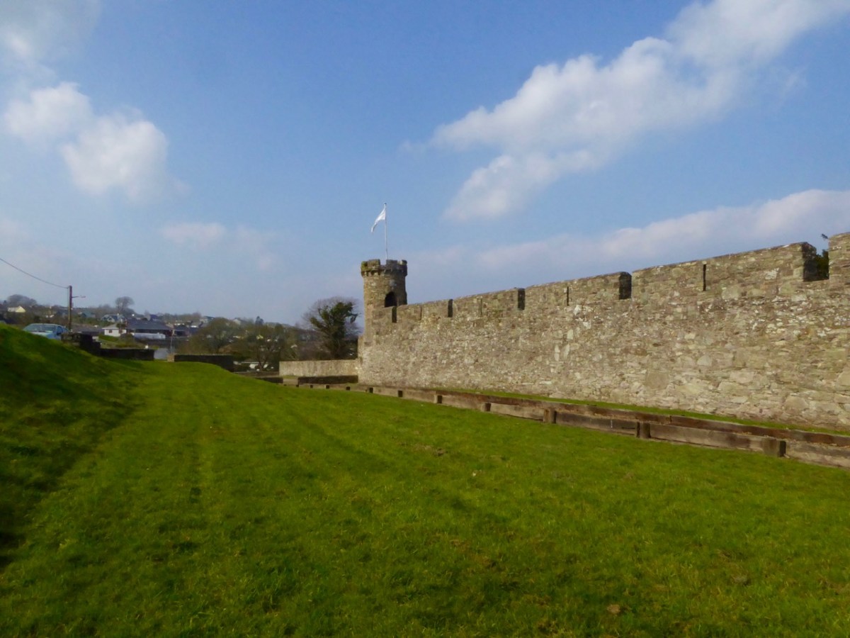
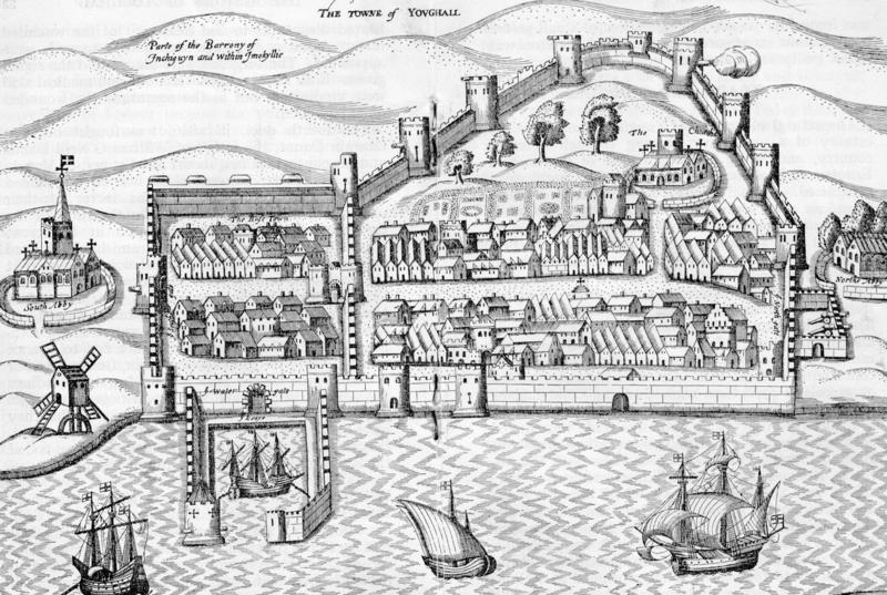
I am reproducing below the map from Pacata Hibernia I used in my Youghal’s Walls post. As with Cork, it can help us to understand a bit more about Youghal. Note, for example, the South Abbey clearly shown outside the walls on both maps.

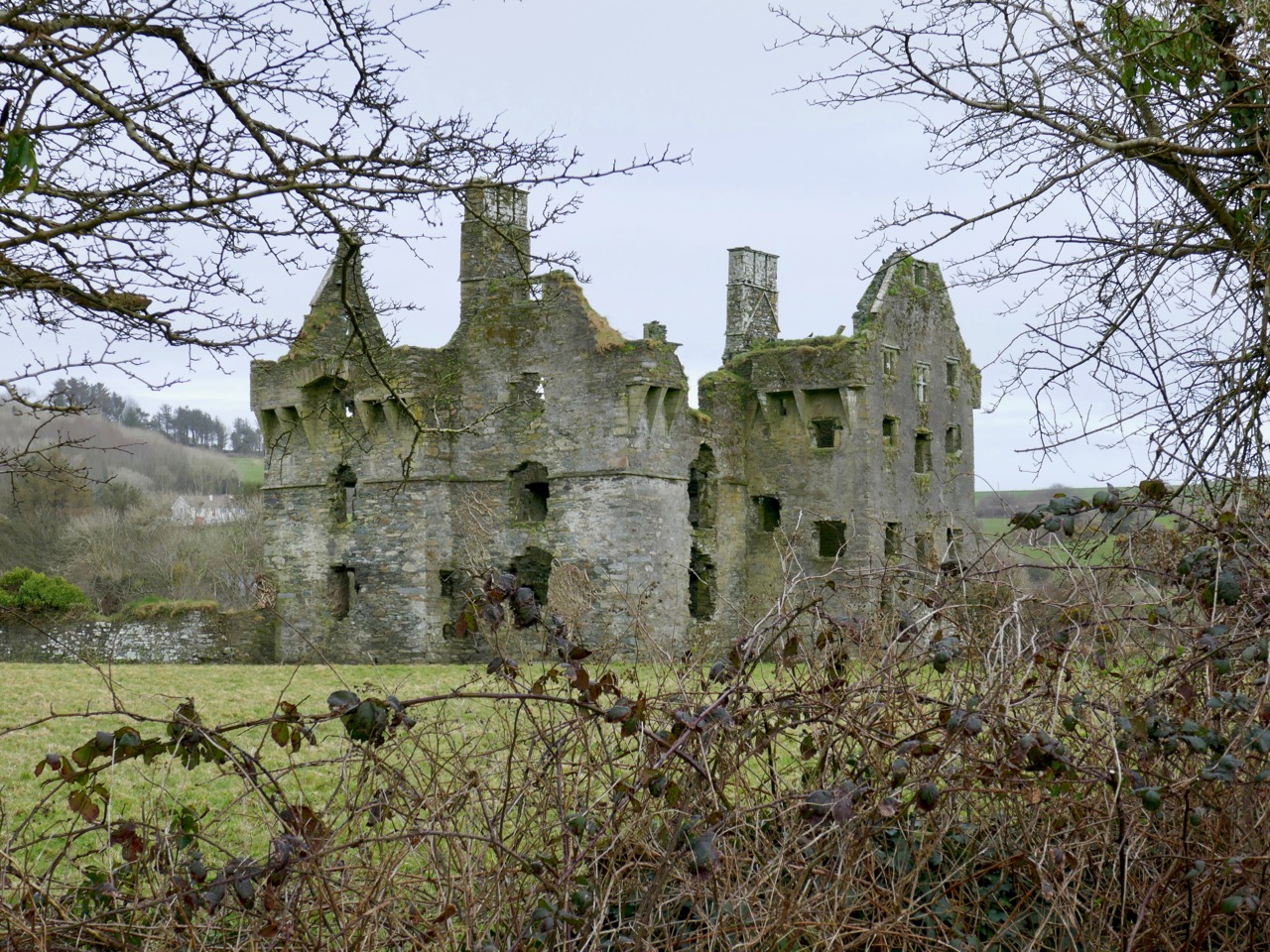
Upriver is Strancally Castle – not the more modern manor house, but the original tower house of which only a vestige remains down by the river. Also easily discernible is Pilltown in modern-day Waterford and Inchiquin, a townland east of Youghal. Inchiquin Castle is now the ruins of a round Anglo-Norman masonry tower which went through tortuous changes of ownership but was eventually occupied by in the fabled  Countess of Desmond who in 1604 died at the age of 140 by falling out of an apple tree. The castle was then seized by Richard Boyle, Great Earl of Cork, who, along with Walter Raleigh, is closely associated with Youghal and the Blackwater River. The drawing of Inchiquin below is by James Healy from his marvellous book The Castles of County Cork.

Boyle’s Castle (it’s still there) was in Lismore, but at this point lesse more is shown as a church on the banks of the Blackwater, not the centre of power it became with Boyle’s ascendance.
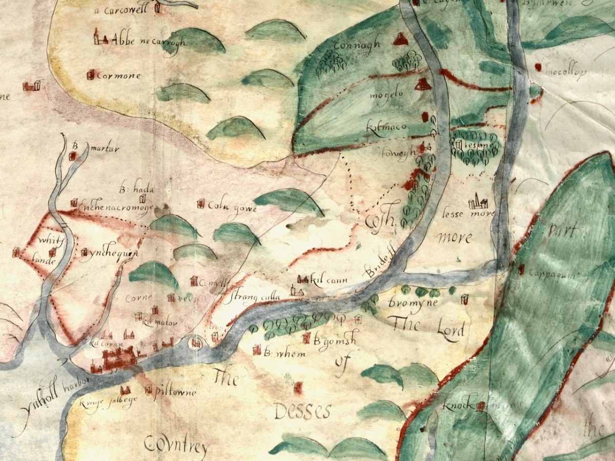
Castles, towns and churches line the Bride and the Blackwater, showing how important these rivers were at a time when the best way to traverse the country was by water.
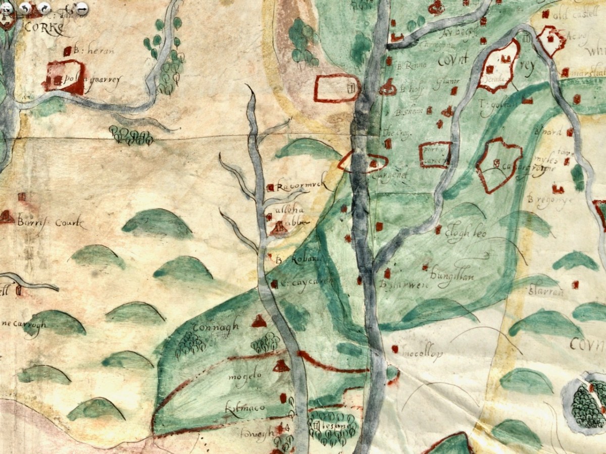
I’m going to leave it there, although I just might come back to this map at some point in the future because, well, it’s so darn interesting and it’s fun to try and puzzle out the names. I hope I have supported my thesis that this map must date to before 1600. It is most likely another of those made for the purposes of identifying property in order to confiscate and carve it up during the Plantation of Munster. Please do visit it for yourself and see what you can find – additions always welcome in the comments section below.
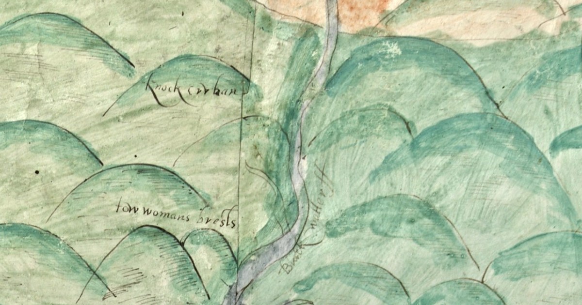
OK – one last image – the source of the Blackwater is shown in this one. What do we call these mountains now?
A Map of the County of Cork, Part 1

A Map of the County of Cork, Part 2

A Map of the County of Cork, Part 2

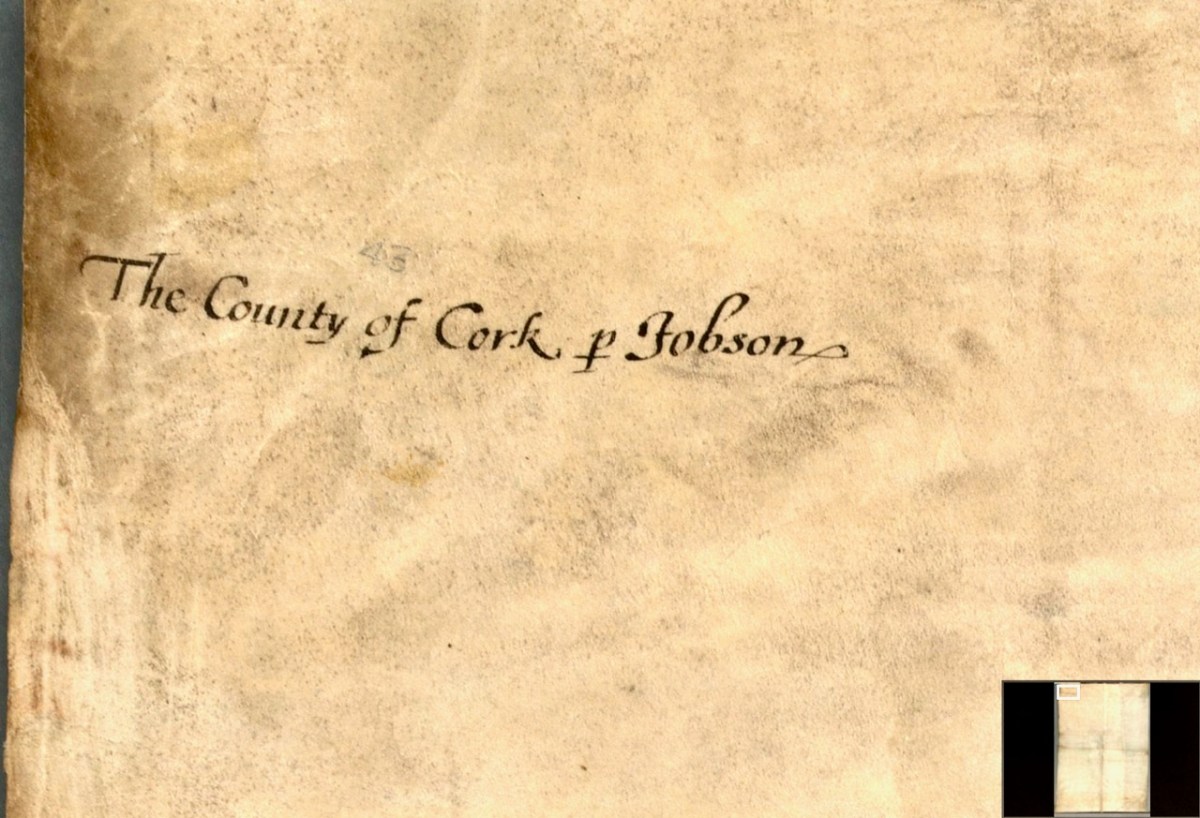
In Part 1, I said that We don’t know who did this one, or when: The date is given as 1560-1620. It seems in some ways more basic than other maps of the period, and less exact. I have now gone to the Atlas itself in Trinity College and discovered that the maps in the Digital Repository are an incomplete set. Specifically, the original Atlas at TCD contains the reverse side, the ‘verso’ of each map. Here’s what’s on the verso of the County of Cork. This:

and this:

So we see that the map is attributed to our old friend Jobson – he who drew the plantation map I wrote about here and here and which was dated to 1589. There are similarities and differences between this map and that one – the galleons and scales for example look very alike. But there’s a lot more information on the plantation map and some of it is different from our Map of the County of Cork. As to the date of the County of Cork map – we will try in this post to see if we can narrow that down a bit from the broad estimate of 1560-1620. 

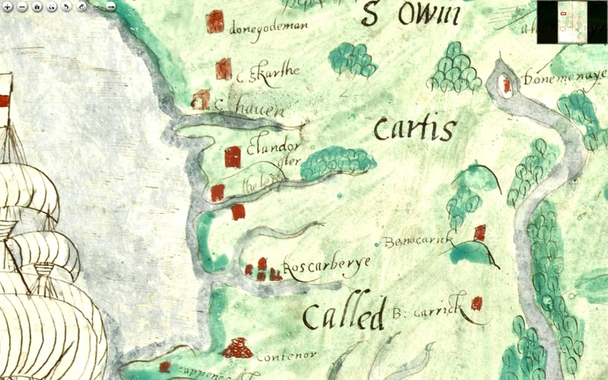
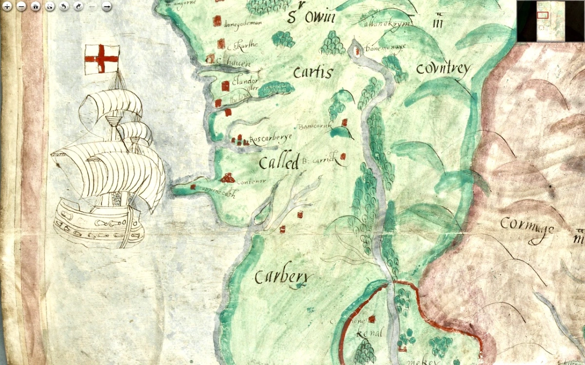
I want to go, as they say in Ireland, east along. That is, take off from where I finished last time, and travel east along the coast towards Cork, taking in the River Bandon. For the rest of this post, I’m keeping the map oriented as it is originally – that is, with west at the top (it’s actually surprising how quickly you can get used to this). Between Baltimore (Donashad) and Castlehaven (C haven), there are three castles shown, one labelled Sir Jmes Castell, Doneygodman and C skarthe. These are all a bit of a puzzle and I would invite readers to contribute ideas. On the archaeological list of Monuments for this area we can identify the O’Driscoll Castle on the Island in Lough Ine – could this be the Sir Jmes Castell? A promontory fort on Toe Head, known now as Dooneendermotmore, although likely originally an iron age refuge, was refortified in the 16th century and may, like the one I wrote about in Dunworley, have had a significant curtain wall. Was this Doneygodeman? It seems unlikely, as Doneygodeman is show inland – I wonder if instead it could be the castle at Raheen, which was a castle of the O’Donovans.
Finally, C skarthe might be a castle of the McCarthy’s – McCarthy is spelled in a variety of ways on this map, but there I can find no trace of it now. There was a castle in Listarkin, but once again, this is in the wrong place, unless this map, while certainly approximate in places, is wildly inaccurate. It seems reasonable to conclude that the more inland castles may have been harder to plot on a map that the coastal ones.

The castle at Glandore (c Landorgter) is clearly shown, along with two castles guarding the entrance to a long inlet labelled ‘the lepp.’ One may have been Kilfinnan, actually located near Glandore, which the other could possible be the coastal tower house at Downeen. This brings us to Rosscarbery (Roscarberye), shown as a collection of Buildings, as befits its status as a substantial town with a cathedral and a college, and a place of pilgrimage in the name of St Fachtna.

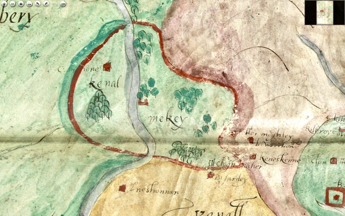
The entirety of this area, in green, is identified as Sir Owin Mc Cartis Countrey Called Carbery. Several other castles are identified here and there, and the course of the River Bandon is traced. The southernmost area is identified as Kenal Mekey, and to the south of the green-shaded section is Kennal Ley. In Canon O’Mahony’s magisterial History of the O’Mahony septs of Kinelmeky and Ivagha he states: 

In the history of South Munster there is no fact attested by more abundant evidence (evidence unknown to Smith and Gibson) than that the Sept-land of the Ui Eachach Mumhan during many centuries extended from Cork to the Mizen Head, as one continuous territory, including Kinelea and Muskerry, and was ruled by a chief whose principal residence was Rath Rathleann, in Kinelmeky.


https://archive.org/details/historyofomahony00omah/page/n1/mode/2up  Page 105

He identifies Rath Rathleann as the mighty multi-vallate ringfort of Gurranes, which was superseded by Castle Mahon, which stood where Bandon is now situated. And here it is, Kinelmeky, with C Mahon shown beside the river. Castle Mahon was later incorporated into Castle Bernard, home of Lords Bandon. Another Castle is shown further down the river – no doubt the one we are familiar with as we travel the N71.

We know that all this land was acquired by Richard Boyle after the Battle of Kinsale (1601) and that he started on his walled town of Bandon Bridge around 1620. Since this is still clearly identified as O’Mahony Territory I think we can take it that this map dates to before the battle of Kinsale.

We see Kenall Ley (Kinelea) in yellow, with the walled town of Kinsale at its heart. Kinsale walls were begun around 1380 and lasted until most of them were destroyed around 1690 by the forces of William of Orange. Inishannon is noted in Kinelea, as well as Park Castell (in what is now the townland of Castlelands) and finally B: Sardey (or is that a different first letter?). We know from another map in the Hardiman Atlas (below) that B designated a small town. Given that Kinsale is such a prominent walled town on this map, once again, a date before 1601 is likely. 

Supporting a pre-1600 date is the fact that it is the old Irish families that are identified with their territories – no settler or Plantation names are given. In fact the O’Mahonys and McCarthys are the only names on the sections of the map we have seen so far. Moreover, it it really was the work of Jobson, we know he was actively mapping in 1589.

In Part 3 I’ll do a quick meander through the most interesting parts of the rest of the map. Stay tuned.

A Map of the County of Cork, Part 1

A Map of the County of Cork, Part 3

Pevsner’s Cork

Have you heard of the Pevsner Guides? It’s shorthand for a series of books, originally conceived and written in England by Nikolaus Pevsner, about significant buildings. But not just buildings – their context and surroundings, like that of Holy Trinity Church, above.

There’s a Buildings of Ireland series, only half done now – 16 of our 32 counties to date, with more underway and others yet to be started. It’s a monumental achievement and on Saturday we attended the launch of the Cork volume in Nano Nagle Place in Cork.

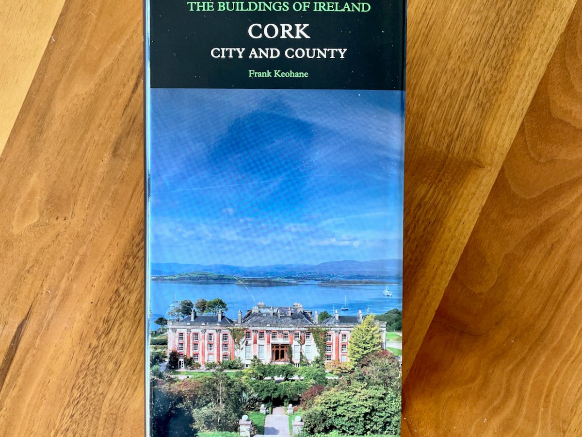
The Buildings of Ireland, Cork: City and County, was written by Frank Keohane (Above, signing my copy) and it took him ten years. Ten years! Covid restricted his investigations for some of that time, but still. At almost 700 pages, it’s an amazing achievement and we were very glad to be able to attend the symposium to celebrate its publication.

Alistair Rowan, genial author of the first of the Irish series was honoured during the day

The day was full of talks and progress reports on volumes currently underway (Dublin suburbs and country, Leitrim/Sligo/Roscommon and Central Leinster). What I loved about the talks was the descriptions of going out exploring and investigating – it certainly wasn’t all about dry research in dusty archives, although I suppose some of that has to be involved too. The Dublin writers, Brendan and Colm, went around by bike and there was one particularly striking photo of a slavering Rottweiler hot on their heels – or rather, wheels. 

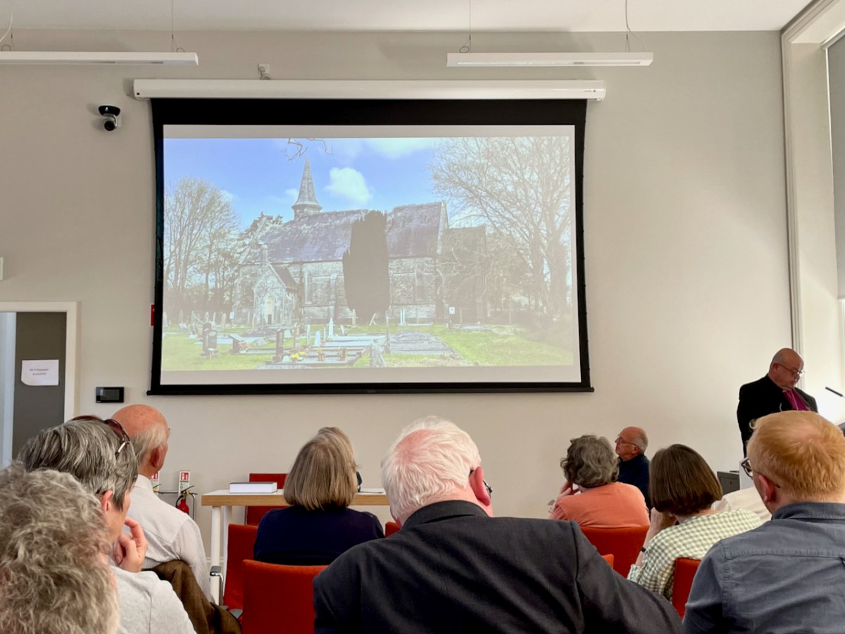
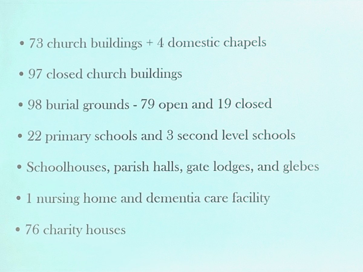
We enjoyed all the talks very much, but perhaps our favourite was the keynote by Bishop Paul Colton (above, showing us the dilapidated state of Desertserges church, which houses a significant Túr Gloine window). Titled A Parson’s Dilemma, it was witty and warm and brought us all back to the sense of buildings that provide the backdrop and context for people’s lives, and all the disparate functions that they serve as well as the emotions we attach to them. His talk also served as a stark reminder that many churches and religiously-administered premises are facing severe challenges as congregations decline and buildings begin to face dereliction.

The Cork volume, as is the pattern with the Pevsner Guides, is laid out as a Gazetteer, arranged alphabetically by town, village or district. I will illustrate (with my own photographs) four entries from the thousands the book contains, just as an example of how this volume has already stoked my interest in things we have seen and motivated me to go back and take another look. (And I only got it yesterday!)

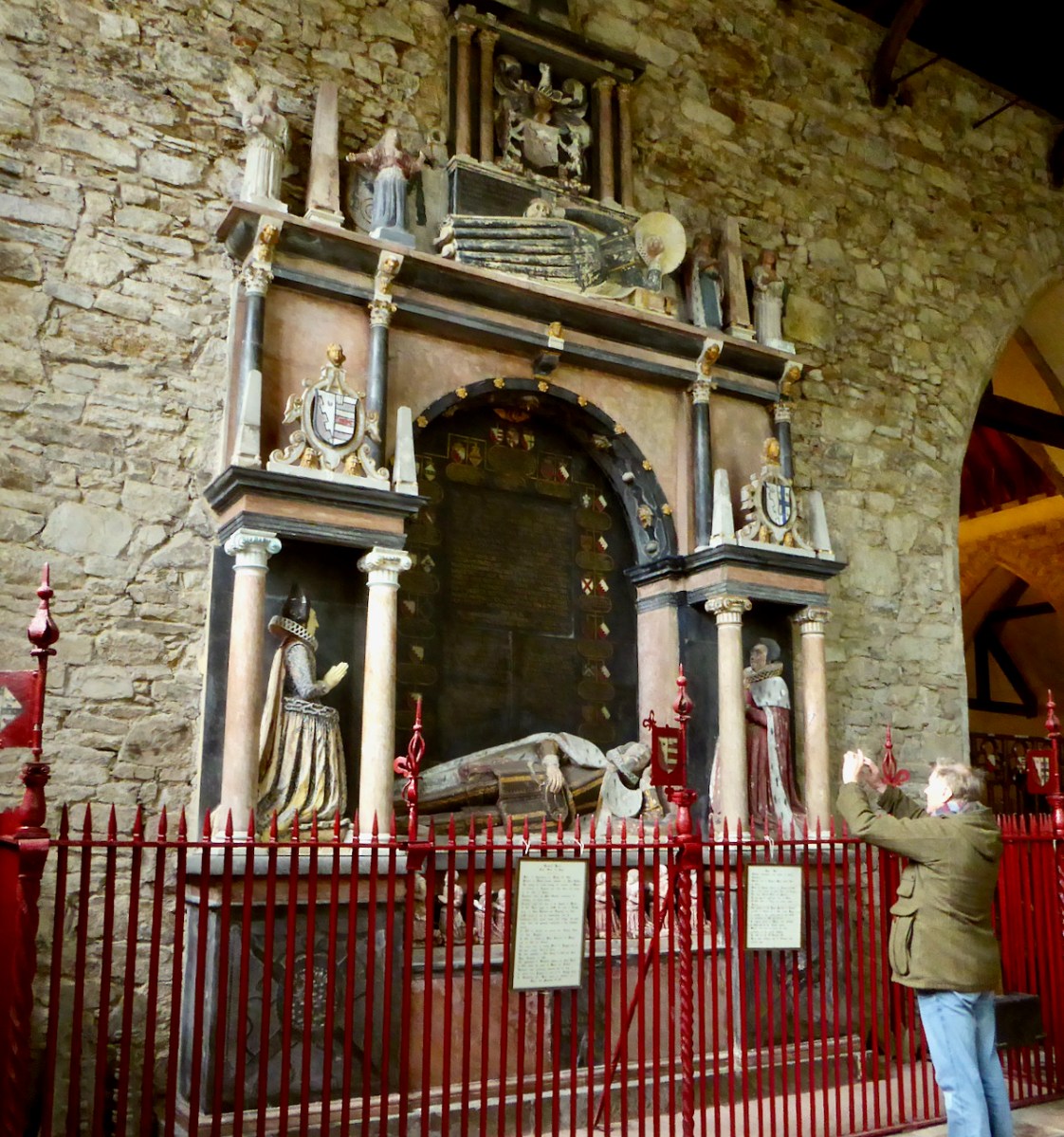
Youghal – a town we have visited and marvelled at (see here and here and here), gets 25 pages, a clear indication of its architectural and historical importance. St Mary’s Church is described in detail, the exterior and interior, with informed comment on the ages of the various parts – not something that an amateur like me could figure out on her own. Here is what Frank has to say about Richard Boyle’s monument.

One of the finest expressions of Jacobean architecture and sculpture in the country, retaining richly painted decoration of a later date. Richard Boyle commissioned it in 1617 from Alexander Hylls of Holborn in London, 24 years before he died. Boyle was acutely aware of the power of funerary monuments in extolling dynastic greatness and this one is only one of four that he commissioned.

Coolkelure Lodge is described, along with its gate lodge (below). 

Wonderful three-bay, two-storey gabled lodge in the same vein, [as Coolkelure House which was built in 1874, architect Henry Hill] with elaborate Bath stone carvings, ornate bargeboards, and a three-stage stair tower with pointed roof.

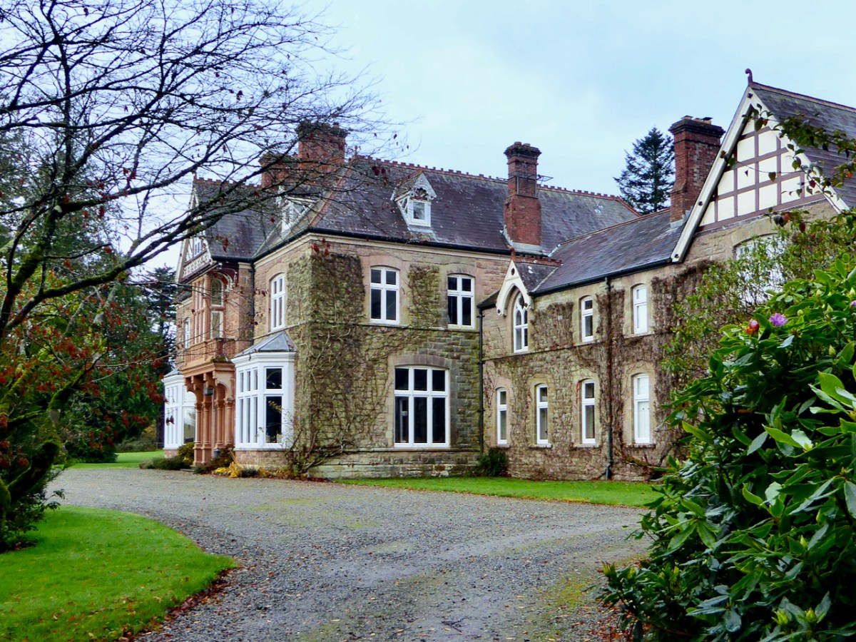
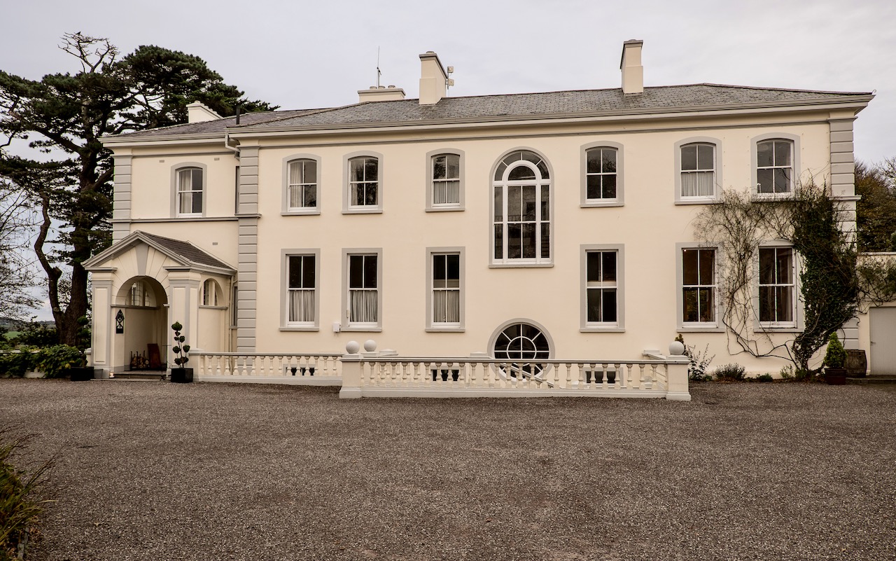
We stumbled upon Clonmeen House when we were on a North Cork Holy Well Expedition with Amanda and Peter, near Banteer. We were staying in a house on the grounds and when out for a walk in the evening got an intriguing glimpse of the house – I have wondered about it ever since, and here it is in the Guide!

Built by Stephen Grehan, first Catholic Governor of the Bank of Ireland, to designs by George C Ashlin – an obvious choice. Keohane states that Stephen Grehan was the first Catholic Governor of the Bank of Ireland. I can find no information on this – but I know who I can ask!

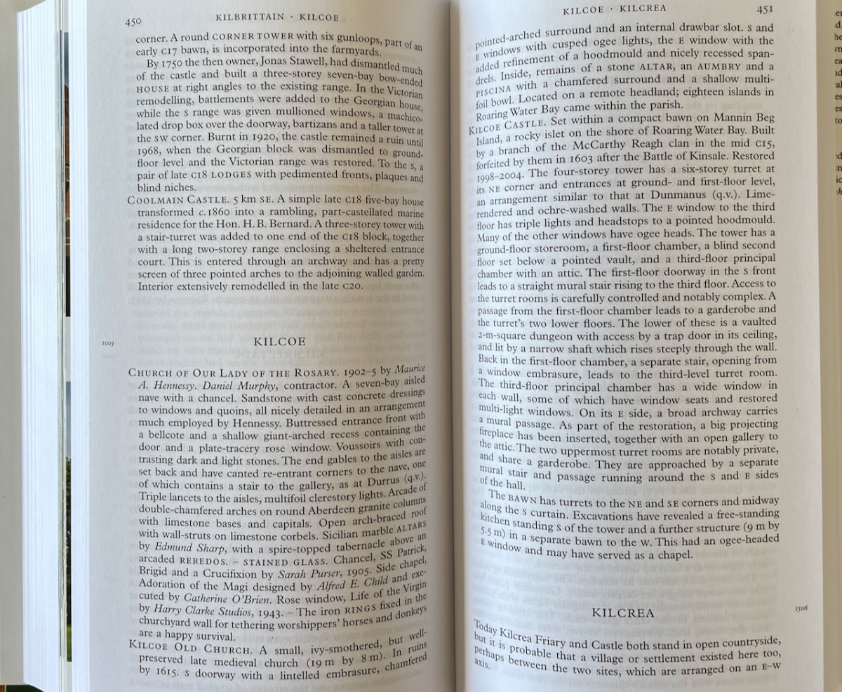
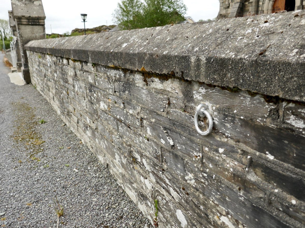
And finally, a tiny detail that is easy to miss, at the Catholic Church at Kilcoe, just down the road from us. The last sentence of the description points out The Iron Rings fixed in the churchyard wall for tethering worshippers’ horses and donkeys are a happy survival.

The Guide is now in the car, where it will live along with the Gazetteer of Irish Stained Glass, as our essential companions on our peregrinations.

Mizen Magic 21: Croagh Bay

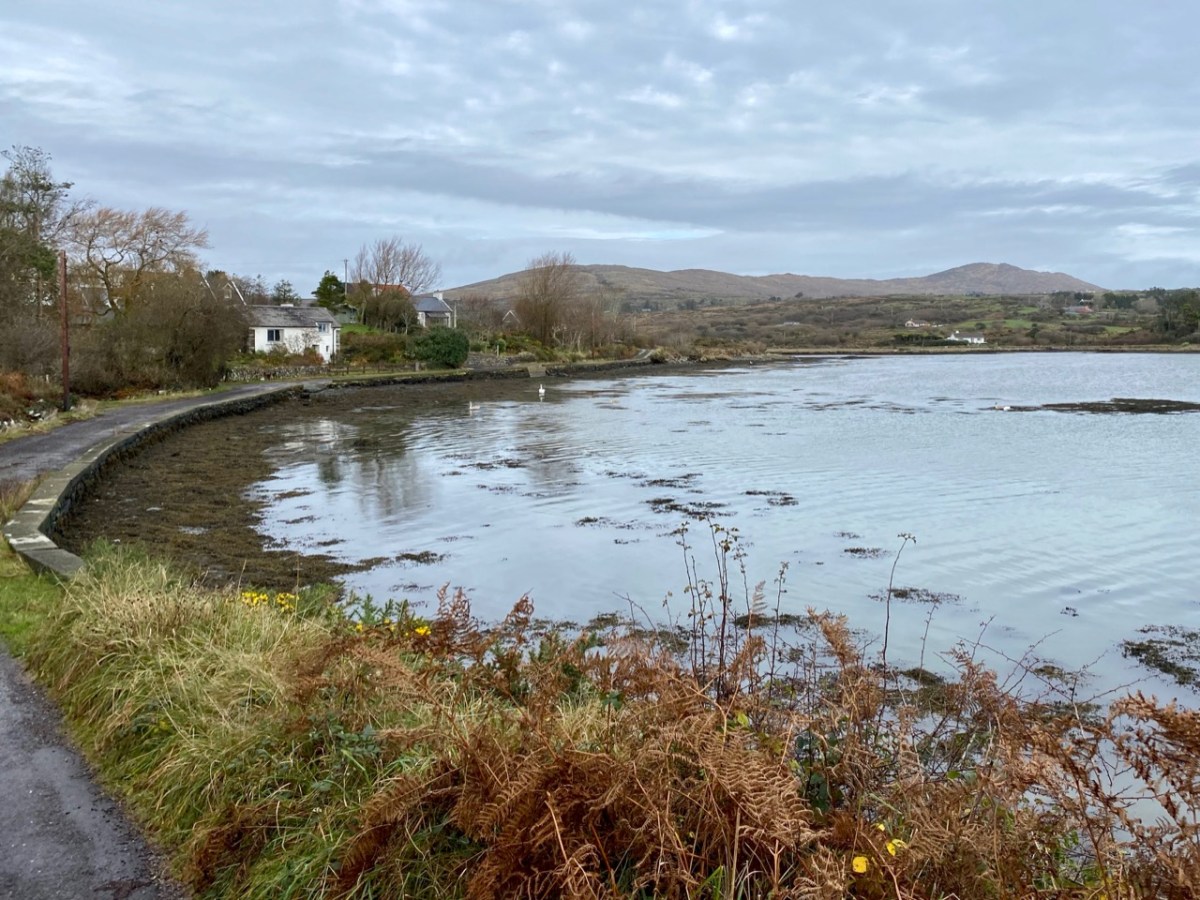
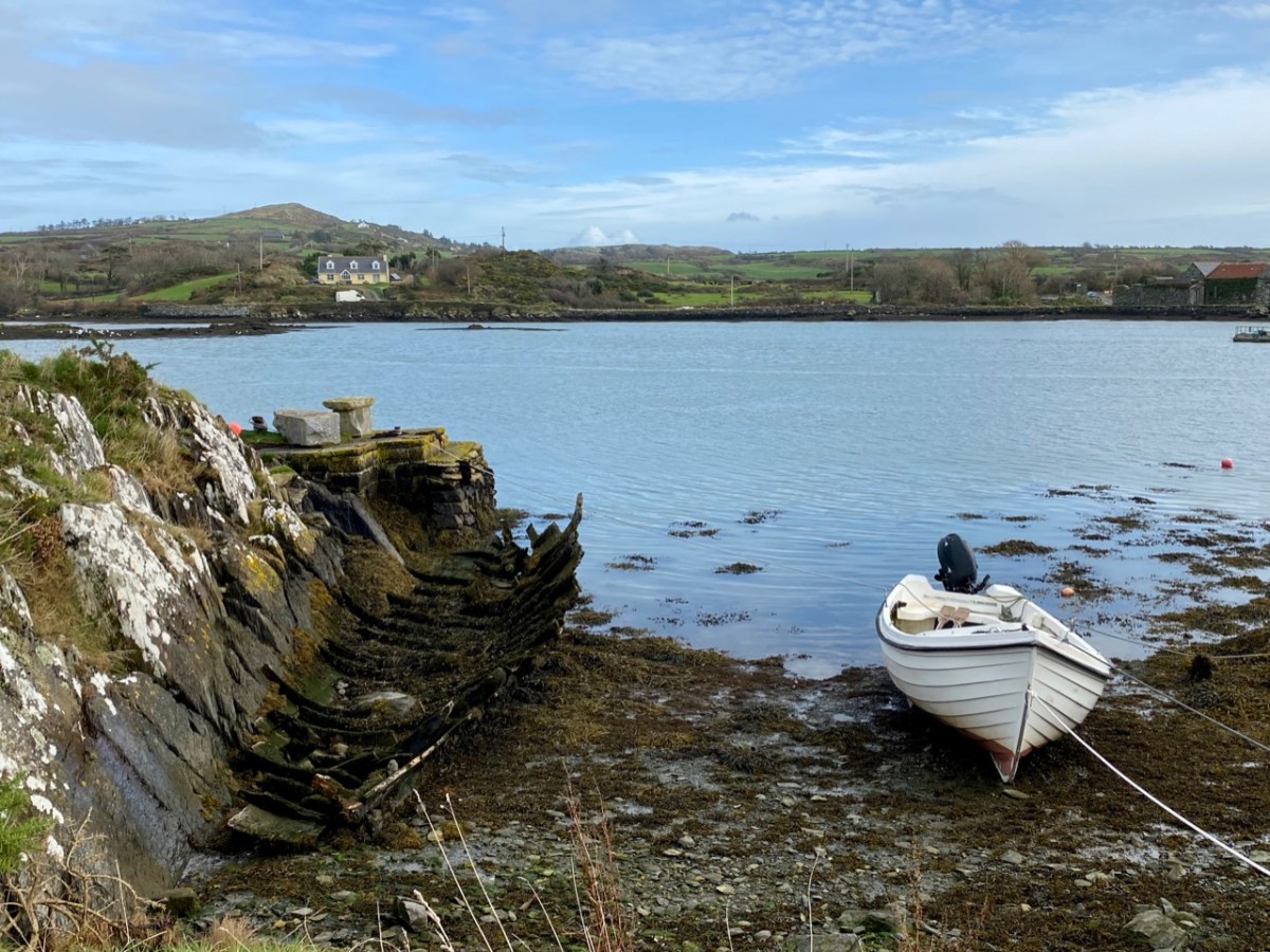
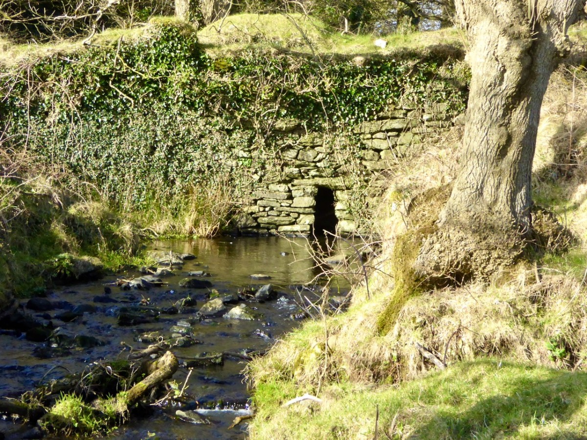
For our latest Mizen Magic post, we look in detail at an area we have skipped through previously: it deserves to be more thoroughly explored as it’s rich in history but is also, literally, a backwater which rests in a time-warp. Whenever we reconnoitre the shores of Croagh Bay, I’m always taken back to the sixteenth and seventeenth centuries and to the pirates, knights and Earls who made their own little empires in this now remote district. I should probably add that I can’t find an origin or meaning for the name Croagh. But I do know that it is pronounced locally as Crew. It’s even spelt Crewe on some maps (but – late edit – have a look at the enlightening comment by ‘Tash’ at the end of this post). The following image shows a clapper bridge – possibly quite ancient: a modern concrete parapet has been placed over the much earlier stonework:

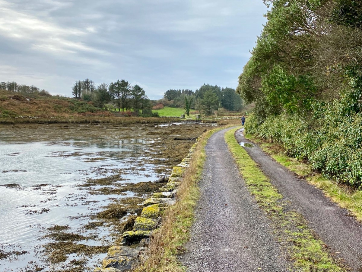
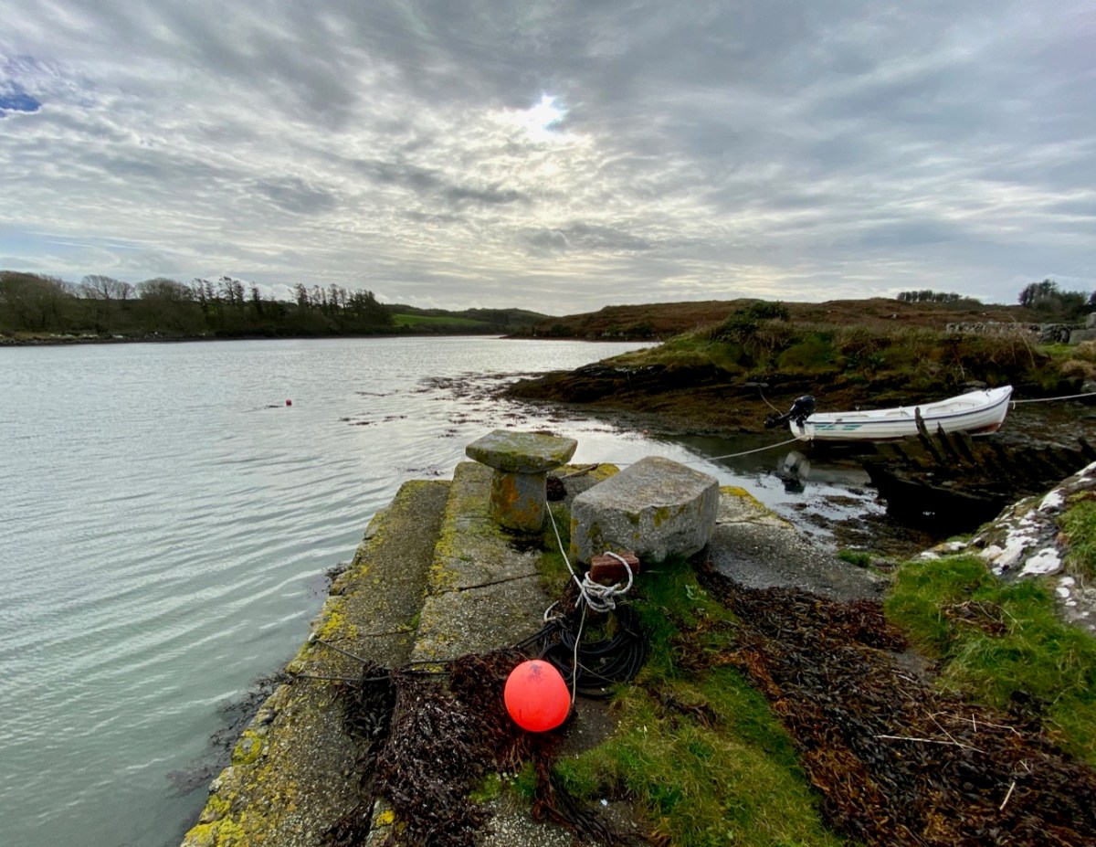
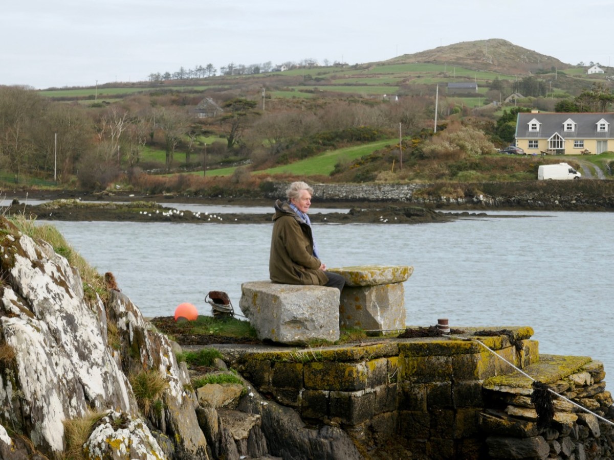
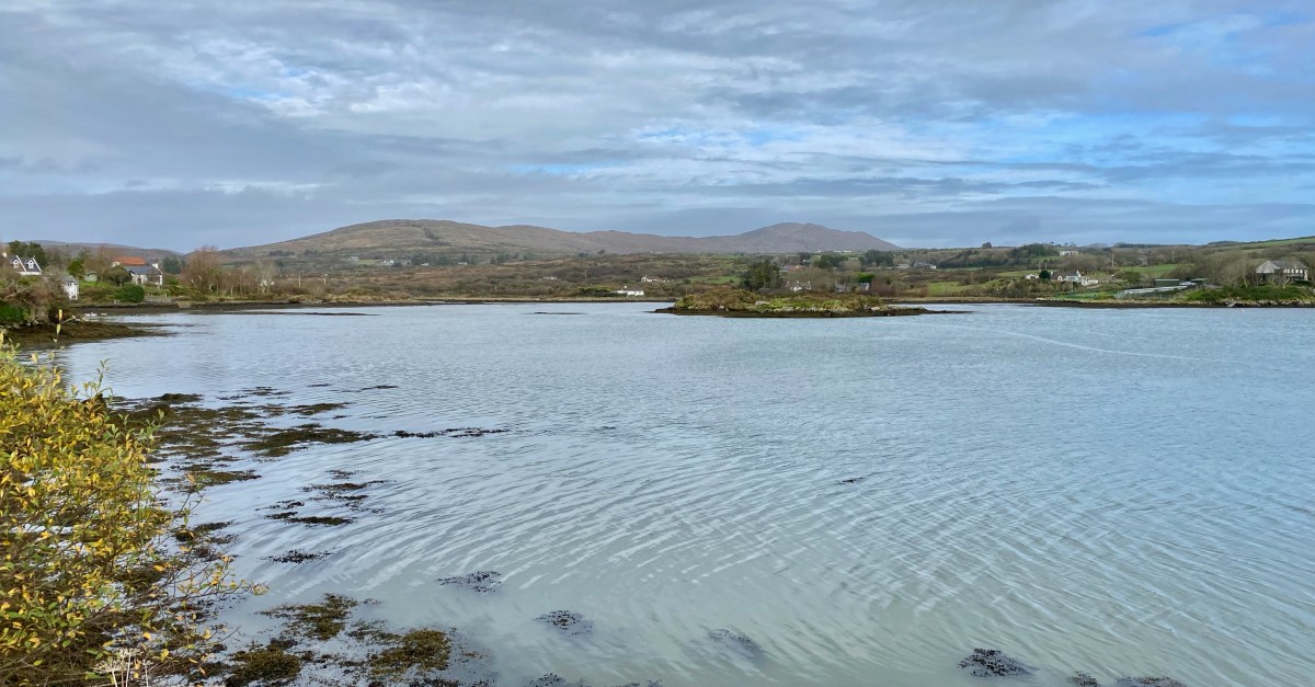
The header image and the one above are both taken at the same place – the head of the tidal section of the Croagh River, in the townland of Lowertown, not too far west of Schull. It’s rewarding to walk on the boreen that follows the north shore of the river. You will admire some very fine residences and come across tiny quays that have doubtless faithfully served many generations of West Cork families, and which are still in use. Behind you the rugged peak of Mount Gabriel will always be in sight – a familiar local landmark.

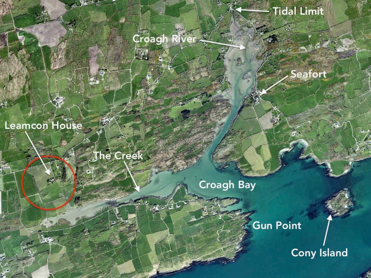
The Croagh River is only one of the waterways that you will explore today. The boreen comes to an end but the inlet itself continues out to Long Island Sound, Roaringwater Bay and the mighty Atlantic. Before that, however, there is another which demands attention: The Creek – which goes west towards the settlement of Leamcon.

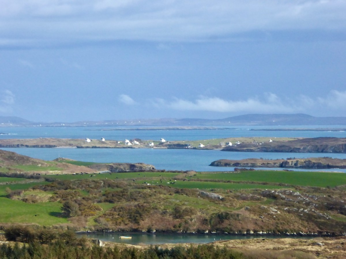
Upper – an overview of the area covered by this post; centre – looking out over the Croagh River towards Long Island with the high ground above Baltimore in the far distance; lower – Croagh Bay is in the centre with Long Island beyond and Cony Island to the left

The aerial view gives a very good idea of why this particular location was so strategically important: the river estuary and the creek are both hidden out of sight of the main seafaring routes of Long Island Sound and beyond. They are, therefore, perfect safe havens for pirates, smugglers, and those who want to profit from such activities. One well-known profiteer we have encountered before in this Journal is William Hull, described in the High Court of Admiralty papers as ‘a notorious harboro of pirates and receavor of theire goodes’ who nevertheless managed to retain an official post as Deputy Vice Admiral of Munster. In cahoots with Richard Boyle – First Earl of Cork – Hull developed links with privateers and pirates, and hosted a whole fleet of vessels within the hidden inlets of Croagh Bay and Leamcon: the shallow waters were ideal for careening vessels and Hull’s empire allegedly included victualling stations, fish palaces, ale houses and brothels. All this was focussed on the townland of Leamcon which Hull leased initially from the O’Mahony Gaelic overlords. Although Hull’s own castle is now long vanished, we can find traces of his endeavours marked on the early OS maps.

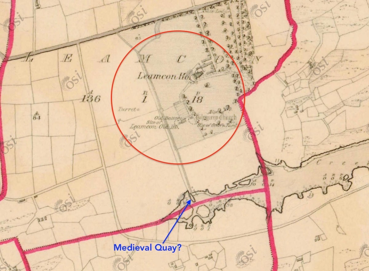
The early 6″ map locates ‘Turret’, ‘Old Battery’ and ‘Site of Leamcon Old House’ within the environs of the present Leamcon House, to the north of the furthest limit of The Creek. Interestingly, there is also what looks like a quay on the water directly below the estate: all these potential antiquities could reasonably date from Hull’s time.

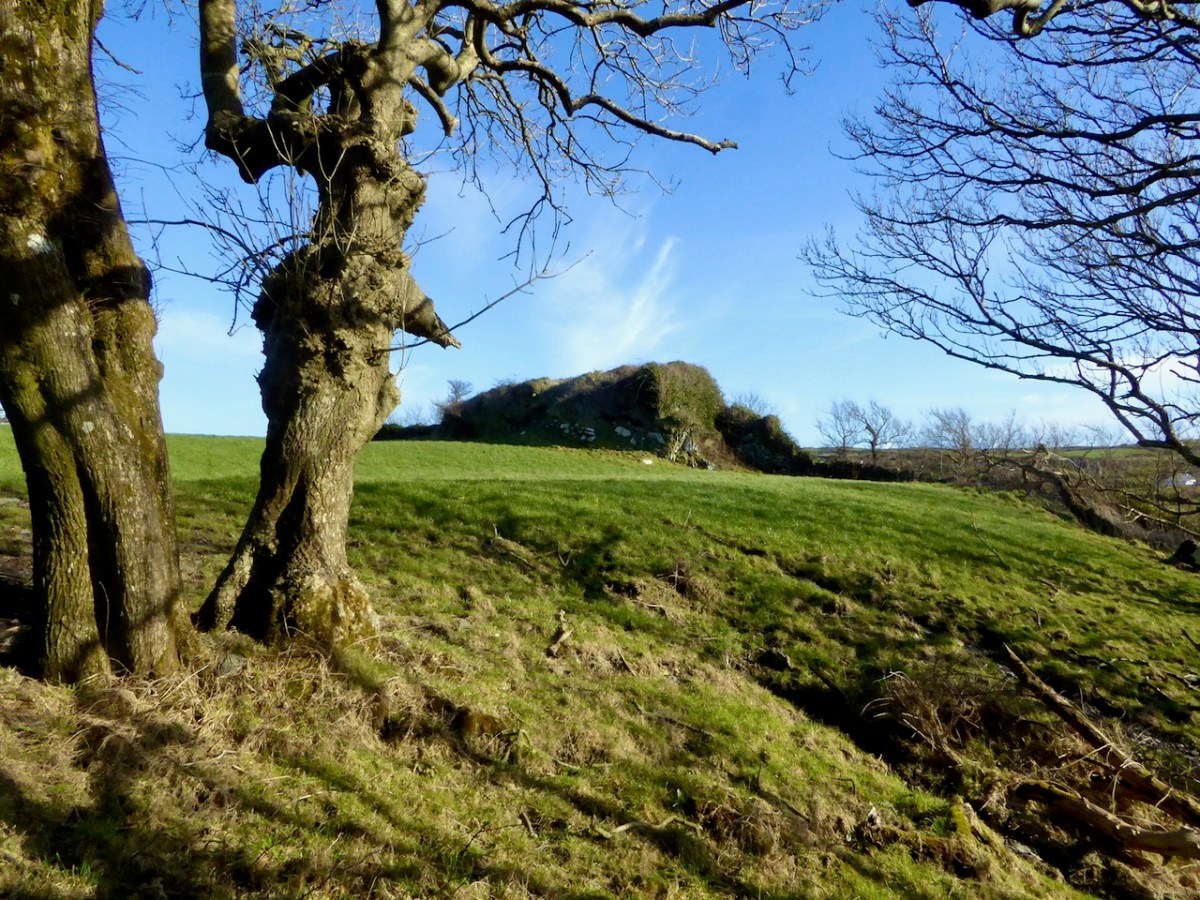
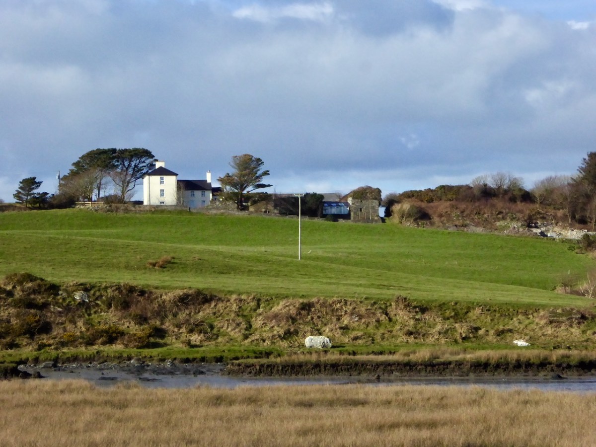
The ‘Battery’, the site of an old wharf and an ancient stone gulley may date from the time of William Hull’s occupation of the townland of Leamcon, which came to an end in 1641, when the O’Mahony’s moved to regain their former holdings. Below is Leamcon House today, looking down to the waters of The Creek. The extensive stone wall on the right hand side of the image is said to incorporate the remnants of a fish palace – another enterprise of William Hull and Richard Boyle:

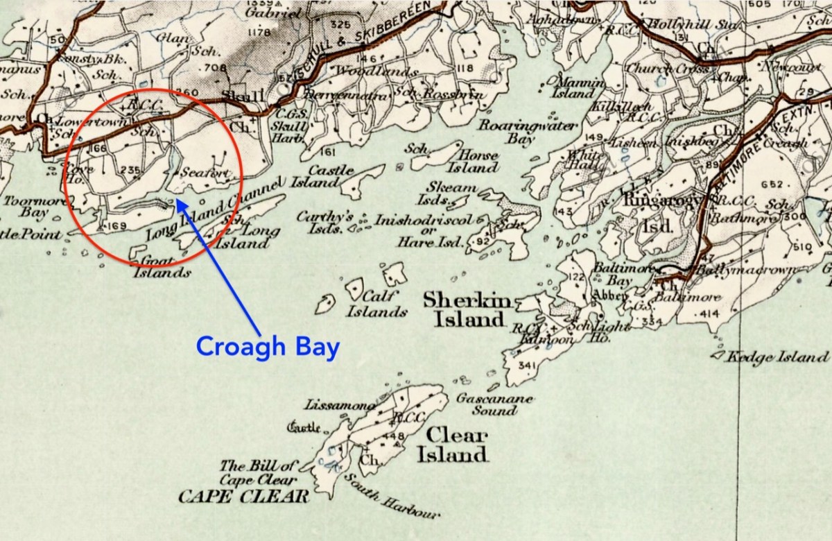
Centre – extract from the 1612 map (see more on this here), showing Leamcon and Croagh Bay; lower – locating the Bay in relation to the islands of West Cork, from a later 6″ OS map

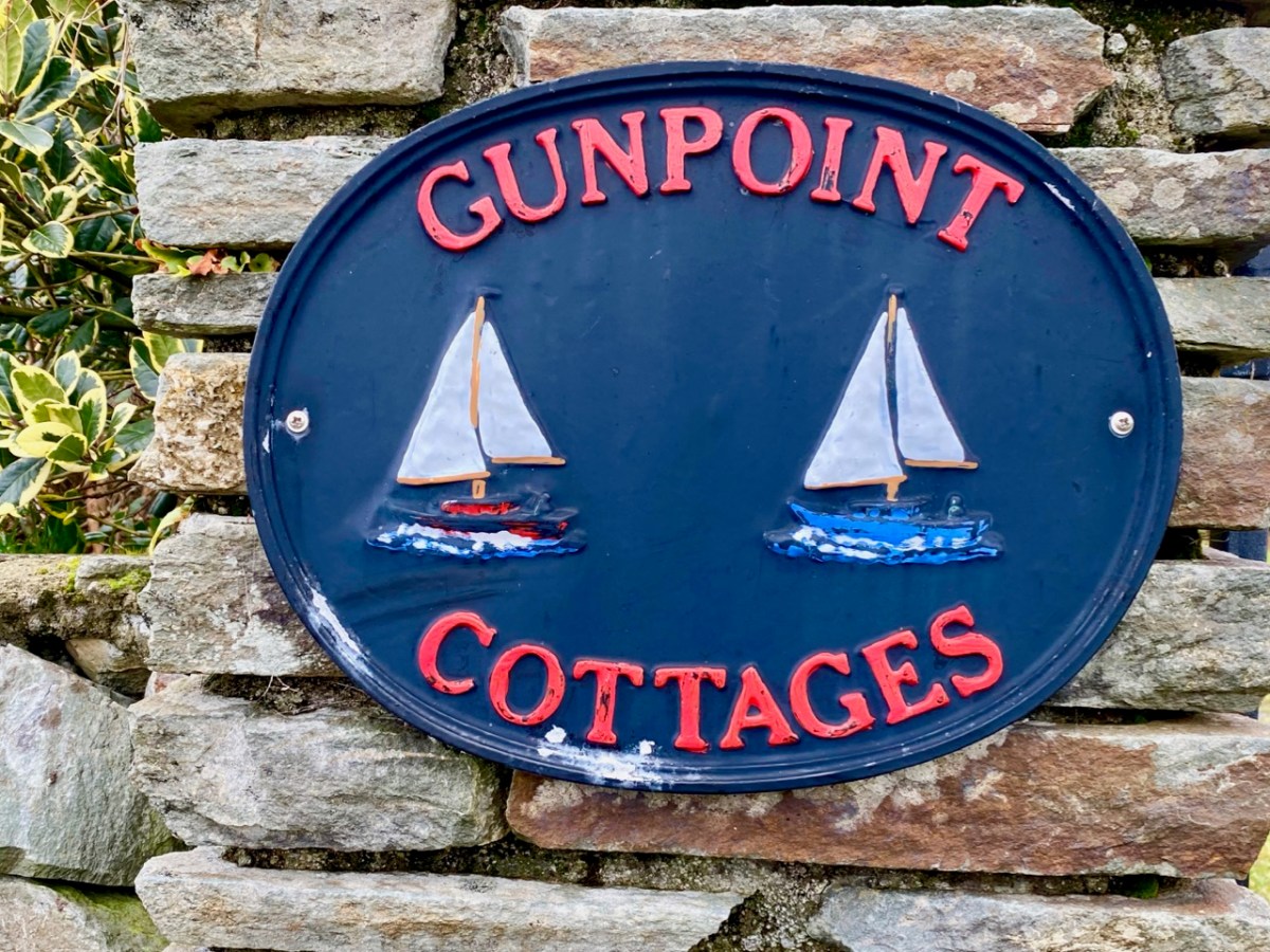
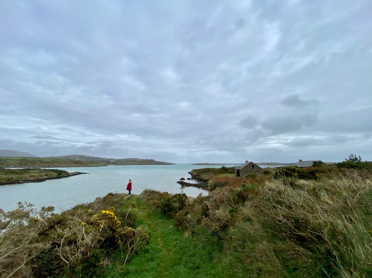
Before we complete our tour of Croagh Bay we have to travel east along the Croagh peninsula, where we find the intriguingly named Gun Point. There is no sign of a gun there today, nor any record of where the name might have originated. It could be, of course, that in Hull’s time the entrance to these important inlets was guarded.

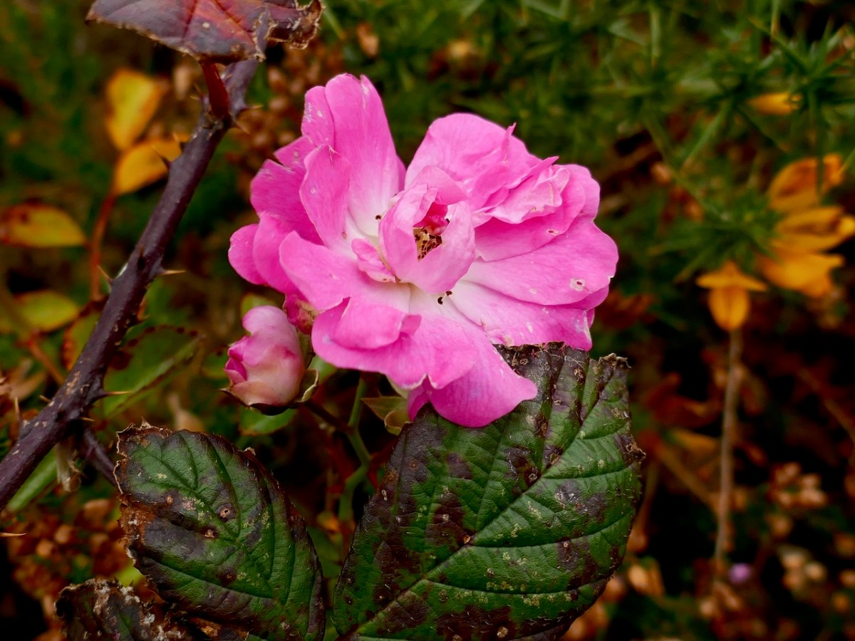
We were pleased to find a briar still in bloom, but were also intrigued by this gate, above, at the very tip of Gun Point. It was singing to us! The wind which, by late afternoon, had become a bit of a gale, was picked up by the hollow metal rails and created for us a Port na bPucai – ‘song of the spirits’. We recorded it as best we could and then handed it over to our musical friend Paul Hadland. He in turn passed it on to his brother Tony – an electronics wizard, who presented us with the following rendition of our Harmonic Gate. Many thanks, Hadlands!

For the technically minded amongst you, here is Tony’s account of how he processed our recording:

. . . I first of all manually edited out the worst of the very short but irritating wind noise elements. I then traced the frequency band where the music was and applied the Apple AU Bandpass filter, centred on 400 HZ. I trimmed off the ragged beginning, faded out the end, and normalised the volume to -10db. To get rid of more of the background noise I then applied the Acon DeNoise 2 adaptive filter, using its default broadband music setting. The result is the attached file Gate Harmonics . . .

Tony Hadland, November 2020

Countdown to West Cork History Festival 2018!

As last year, Roaringwater Journal is very involved in the marvellous upcoming West Cork History Festival. We are both on the organising committee and this year we are leading field trips and chairing sessions, and I am giving a paper (more on that below). The Festival will be held in Skibbereen this week – 16th to 19th of August.

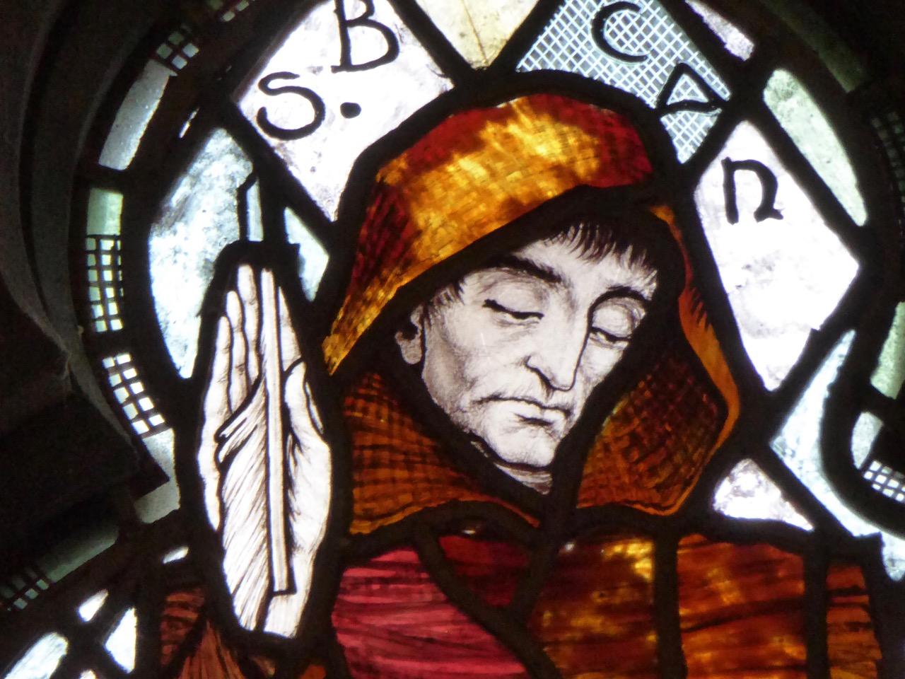
This is St Barrahane from Castletownshend. During the Thursday Field Trip we will be revealing his secret message

We haven’t had a lot to do with the detailed logistics or with the ultimate lineup of speakers – that is the purview of the Founders, Simon and Victoria Kingston. What a force they are! As you can imagine, organising a festival like this is an enormous amount of work and they do it while working full time, with two young children and a life lived between two countries – all while remaining cheerful, focussed, inventive and energetic. Here are Simon and Professor Roy Foster, our keynote speaker, talking last year about the upcoming festival.

Simon and Victoria are next door neighbours to the wonderful Liss Ard Estate. This place is dear to our heart as it’s where we were married, and they have been incredibly supportive of the festival, providing parking and accommodation.

While many of the speakers are academics and writers on the national scene, local historical societies are attending and volunteering and local experts have been persuaded to share their knowledge. The Skibbereen Heritage Centre is a big part of the festival this year, with both Terri Kearney and Philip O’Regan on the program, and William Casey giving a talk and launching a book.

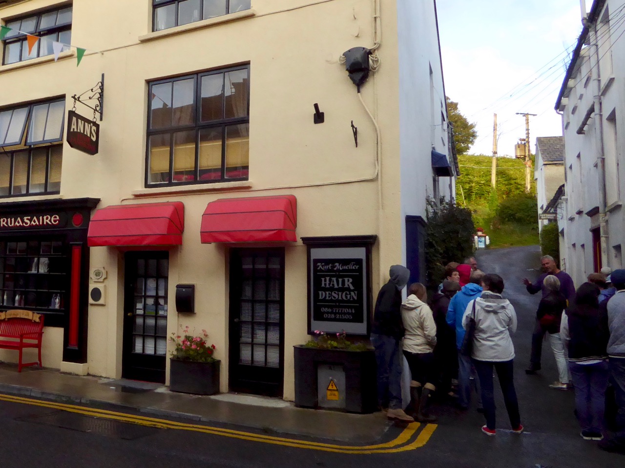
Philip O’Regan of the Skibbereen Heritage Centre leads a walking tour of the historic town. Here he points out the building where O’Donovan Rossa founded his Phoenix Society, forerunner of the Fenians

We are looking forward to the field trips, a new addition this year and a popular one, given how quickly they booked up. Thursday’s focusses on archaeology and history and Friday’s on the Famine and Art.

Coppinger’s Court – these fortified mansions gradually replaced tower houses in the seventeenth century, during of the series of changes from Irish to Planter land ownership

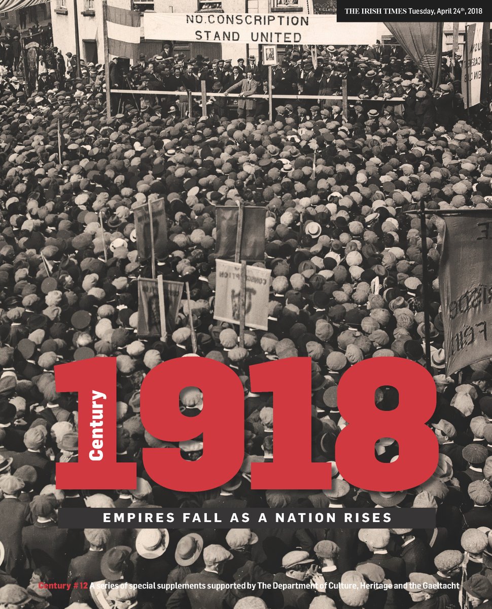
The Festival aims to cover international, national and local themes and this year will, of course, focus partly on the events of 1918, with talks on WWI, Carson and Redmond, Women’s Suffrage and the great Flu epidemic. The Irish Revolutionary Period is the subject of several talks, by both academics and non-professionals, ranging from the hot topic last year, Protestants in West Cork, to the violence suffered by some women during that period.

Inspired by the Coming Home: Art and the Great Hunger exhibition currently running at Uillinn/West Cork Arts Centre, there is also a thread that looks at the intersection of art and history. It will be the main focus of Friday’s field trip, and run through sessions on Margaret Clarke, on Gothic art, on George du Noyer and most pointedly in the talk by Niamh O’Sullivan on the Coming Home Exhibition itself.

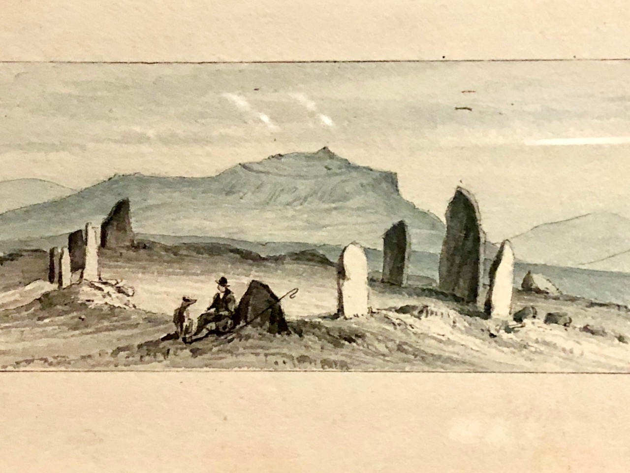
Stone Circle by George Victor du Noyer

We’re not forgetting the Medieval and Early Modern periods either. Dr David Edwards from UCC is recognised as an expert on Richard Boyle and on this period and his talk on Gaelic politics in the later Middle Ages should be fascinating. But never mind all that politics – what did people actually do back then, and what did they eat, before the advent of the potato?  Dr Susan Flavin is going to tell us that when she talks about ‘Food, Drink & Society in 16th century Ireland’.

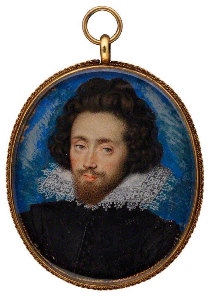
Richard Boyle, Great Earl of Cork

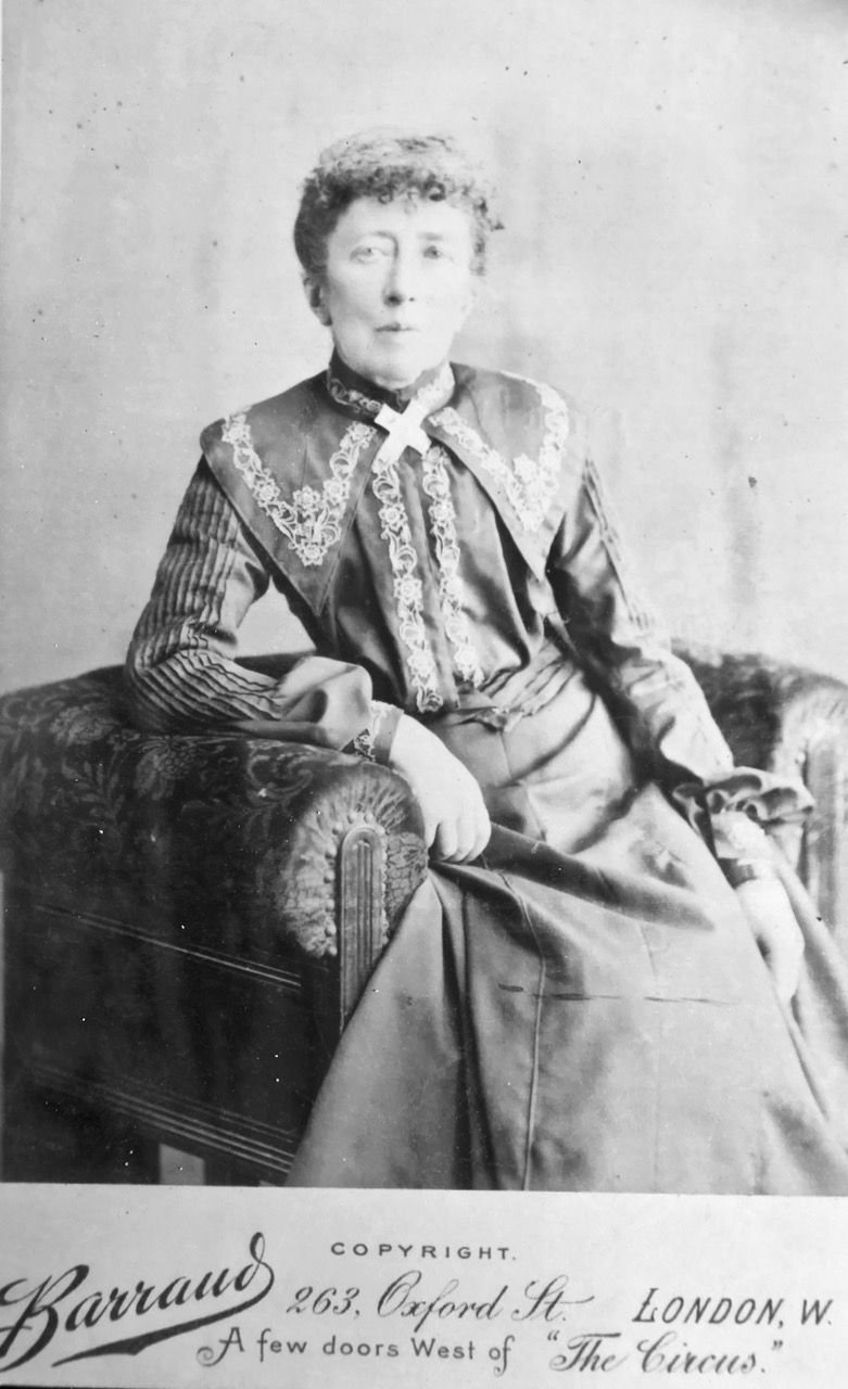
Lots of local history too – on Cillíní (children’s burial grounds), women in the fishing industry, Sam Maguire and his memorial bells in Dunmanway, Pirates and treasure of the Coast of West Cork, and my own talk on Agnes Mary Clerke who grew up in Skibbereen during the famine and went on to become the most successful science-writer of her day, with a moon crater named in her honour.

Agnes Mary Clerke

That’s just a taster of the talks – there are lots more. And if that wasn’t enough, there are also film screenings, a concert by Jessie Kennedy based on the life of Lady Mary Carbery of Castle Freke, and a poetry reading by none other than Jeremy Irons! How can you resist that voice?

So if you don’t have your tickets yet, get them now. Yes, you’ll still be able to get them at the gate, but if you want to secure them now, do it online at this link.

Youghal’s Walls

Outside the walls 2

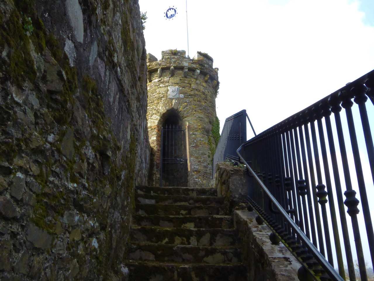
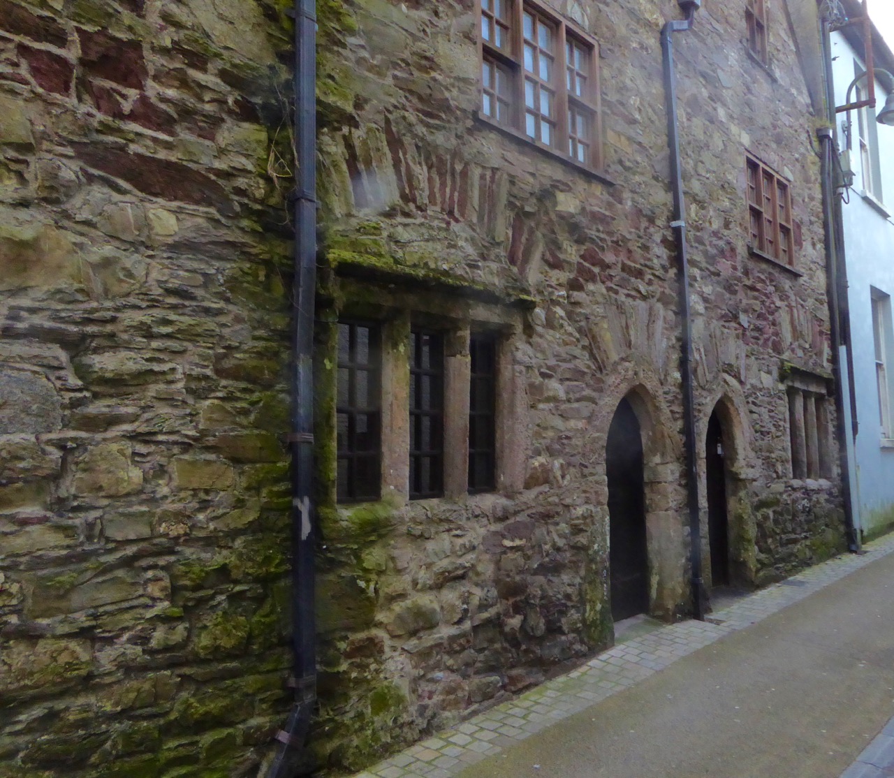
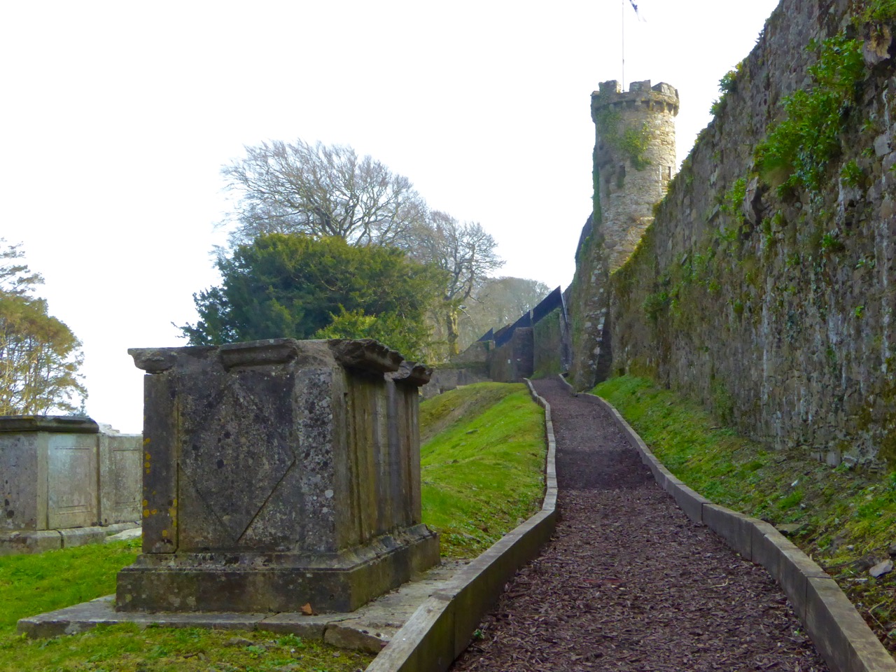
Walled towns are relatively rare in Ireland and it’s even rarer to find substantial sections of wall still standing. But Youghal (pronounced YAWL), in County Cork, miraculously has a significant extent of its medieval wall still in place. 

Mural Tower

Drew’s Tower, one of the mural towers that punctuated  the wall. Some of the others were called Montmorenci, Half-Moon and Banshee Towers

A walking tour of Youghal is a great way to spend a day. Robert is writing about the wondrous Collegiate Church, one of the highlights of the tour but by no means the only stop of interest.

Boyle's Almshouses

Almshouses built by Richard Boyle and still in use today

The history of Youghal is inextricably mixed up with Walter Raleigh, an early resident, and Richard Boyle, the Great Earl of Cork. They lived here in Tudor times, but the town started out as a Viking stronghold. The Norsemen may have built earthen defences, precursors to the later stone walls.

PacataHiberniaYoughalc 1600_800x537

Map of Youghal from the 17th century Pacata Hibernia. The smaller walled section to the left was known as Base Town or Irish Town. It was for the native Irish and the entrance to the main town was through a guarded gate. Note the heavily fortified quay walls

It’s not hard to understand the importance of Youghal if you consider its strategic setting. Situated in an excellent natural harbour, it guarded access to one of the south coast’s longest and most navigable rivers – the Blackwater. The Irish and Norse banded together to defend Youghal against a Norman raiding party that had sacked Lismore in 1173. They were unsuccessful, and from then on Youghal became a Norman town. It was these Normans who built the first sections of the wall, in the 13th century.

Walls above graveyard

The great family of Fitzgerald, Earls of Desmond, dominated the town for the next three hundred years. The Desmonds ignored the dictates of Dublin Castle and lived like independent princes – a factor that was to lead to their eventual downfall and along with it the decline of the old Gaelic order and the arrival of a planter class from England that would include Raleigh and Boyle.

View from Walls

Youghal occupied an important position at the mouth of the Blackwater, with a sheltered harbour

But in the early medieval period, before those troubles, Youghal prospered and became the 6th largest port in Ireland and a booming centre of trade.

Portugal sent wine, oil and olives; Spain, iron, lemons, oranges, shumack; France, silk, salt, spirits, vinegar; Amsterdam, paper; Flanders, bark, tapestry and silk; Rotterdam, cider, coffee-mills, corn powder, earthenware; Bremen, iron, oak-boards, and Rjenish window glass; Norway, balks and deals; Drontheim, oars, spars masts etc. Articles of luxury were imported in abundance; amongst other articles of fashion, we have ivory combs, fans, head-rolls, masks and papers of patches.**

Tynte's Castle streetscape

Tynte’s Castle which once overlooked the quay walls and helped to defend the town

To the sea side the main defence consisted on the quay wall, which was strengthened with crenellations and fortified by towers. One of those towers, Tynte’s Castle, is still in use on the main street. It was once the home of Elizabeth Spenser, widow of the poet Edmund Spenser, to whom he wrote the love poem Epithalamion. Spenser was not popular in Ireland – read more about that here

Tynte's Castle

The quays and the walls behind the town were the subject of petitions for ‘murage grants’ over the centuries as they were difficult to maintain and the town itself was subject to attack from the sea by pirates and by the ‘Wild Irish’ from the high land behind the town.

Clock Gate

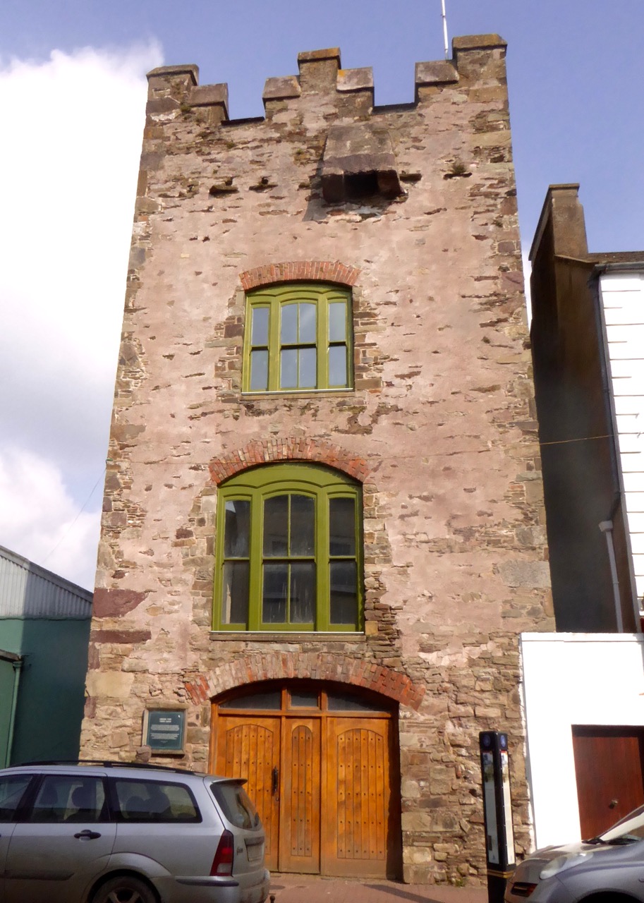
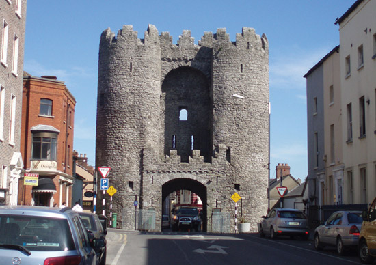
Access to the walled town was provided by means of guarded gates. While no original gates have survived, the Clock Gate, built in 1777, is located where the original gate was. The current tower functioned as a gaol for many years. It is believed the original gate may have looked like St Laurence’s gate in Drogheda, one of the few town gates surviving in Ireland.

laurencesgate-01

The surviving town gate in Drogheda – St Laurence’s Gate – shows us what Youghal’s gates would have looked like

The town was attacked and devastated by the Desmonds in 1579. Eventually driven out and defeated, the Earl’s lands were forfeited to the crown and granted to Sir Walter Raleigh who came to live in the house called Myrtle Grove. He later sold his lands to Richard Boyle, under whose energetic patronage the town once again prospered and the walls were repaired. Much of what we see now dates to this period.

Model of walls

A model of the town – this section shows the walls in the north-east section, St Mary’s Collegiate Church and Myrtle Grove

Walls were rendered obsolete by the advent of heavy canon and they gradually fell once again into decay by the late 1700s. Meanwhile the prosperous town needed wider streets and gates were removed, although the portion inside the walls kept its medieval layout for the most part.

Through the graveyard

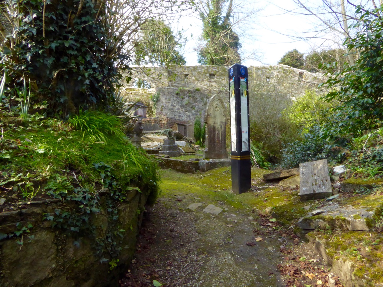
The old graveyard behind the Collegiate Church and within the walls is waiting to be explored

Enough of the town wall survived, however, and the citizens of Youghal are rightly proud of it. They have undertaken an ongoing program of  stabilisation and repair. For one thing, they have removed the ivy that threatens to destroy so much of our medieval heritage.

Wall repairs

Today, you can wander freely around the walls. There are magnificent views from the top, where you can appreciate the strategic importance of the port and admire the formal collegiate gardens preserved as a town park. Take one of the walking tours offered by the Youghal Heritage Centre – in a land steeped in history, this experience ranks as unique!

Wall walk

**This quote and much of the information in this post came from the excellent publication: Youghal Town Wall: Conservation and Management Plan, by Cork County Council. Thanks also to the Youghal Visitor Centre for the walking tour map and the friendly greeting.